What is recorded here
Indicated Fort is a much-damaged fairy fort in County Longford, its circular earth bank reduced to a low ridge studded with boulders on a pasture slope. The eastern break may have been the entrance, but field debris and a cutting boundary have invaded the inside, leaving the fort more like a memory than a room. It still belongs to the landscape, holding the shape of a place where people once drew a line between their world and the wild one.
On a NW-facing slope in pasture. A raised circular area (diam. 27.4m) enclosed by a much-denuded, low bank of earth interspersed with large boulders (Wth 4.2m; H 0.35m max.). There is no trace of a fosse. Field-clearance debris has been deposited against the outer face of the bank, on top of it and within the interior. A poorly defined break (Wth 2.9m) at E may mark the original entrance. The interior is divided into unequal portions by a NW-SE field boundary.
Compiled by: Patrick F. O'Donovan
Date of upload: 26 August 2011
This remains an important historical record, but the official description says the monument is no longer visible or has been destroyed. The monument record does not grant public access. Check the route and ask the landowner before entering private land.
- What survives
- No visible remains or recorded as destroyed
Places near here
 Mornin Castle (in Ruins)Castle, tower house · 535 yd
 Kilbally Holy WellHoly well · 779 yd
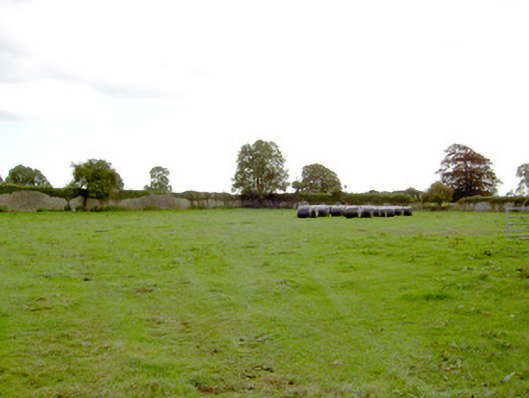 Park Placewalled garden · 1150 yd
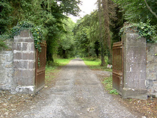 Doory Hallgates/railings/walls · 1232 yd
 IndicatedFairy fort / earthen ringfort · 1510 yd
 DoonphilipCastle, motte · 1.2 mi
 National Famine WayWalking route · 2.8 mi
 Newcastle WoodsForest · 3.5 mi
 Target WoodWood · 3.8 mi
 Corlea Bog Walk Canal BranchWalking route · 3.8 mi
 Corlea Trackway Interpretative CentreHeritage attraction · 4.1 mi
 European BeechEuropean Beech · 5.2 mi