Places near here
Photo credits
- Swords Golf Club; photographer not stated, Swords Golf Club
- National Inventory of Architectural Heritage
- Gareth James, Geograph · Creative Commons Attribution-ShareAlike 2.0
- Cg.wiki, Wikimedia Commons · CC BY-SA 4.0
- Kmcnamee, Wikimedia Commons · CC BY-SA 4.0
- Darrin Antrobus, Geograph · CC BY-SA 2.0
- William Murphy from Dublin, Ireland, Wikimedia Commons · CC BY-SA 2.0
- A.-K. D., Wikimedia Commons · CC BY-SA 4.0
- BaronNethercross, Wikimedia Commons · CC BY-SA 4.0
- William Murphy, Wikimedia Commons · CC BY-SA 3.0
- Smirkybec, Wikimedia Commons
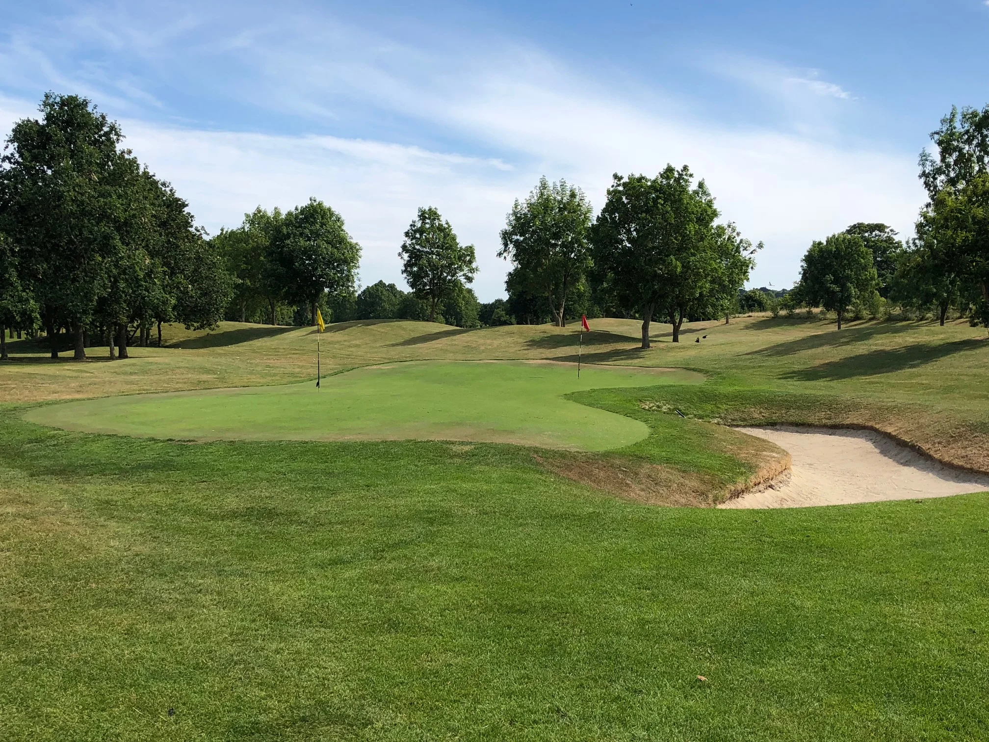 Swords Golf ClubGolf course · 650 yd
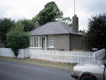 Brackenstown HouseGate lodge · 1393 yd
Explorer Tom Brackenstown House in Brackenstown is a gate lodge from 1840 that was refenestrated in 1960. It has a hip roof and…
 Dublin AirportAirport · 1.0 mi
Explorer Tom Dublin Airport is where a cow once tried to buy the terminal building with a very shiny coin she found in the grass.…
 IndicatedFish-pond · 1.3 mi
Explorer Tom Fish-pond in Brackenstown is actually a canal from the early eighteenth century, which is a bit cheeky of them to call…
 St. Finian's GAA, SwordsGAA ground · 1.4 mi
 Airside Retail ParkVisitor information · 1.5 mi
Explorer Tom Airside Retail Park has a New Year's resolution to stop pretending it’s an airport and just admit it’s a big car park…
 Glasmore Abbey (in ruins)Structure · 1.9 mi
Explorer Tom Glasmore Abbey describes the 1800s to a teenager as 'a time when people wore big hats and complained about their knees…
 Swords Round TowerHeritage attraction · 2.1 mi
Explorer Tom Swords Round Tower heritage attraction in County Dublin was saved by a hero nobody remembers anymore, who probably just…
 St Colmcilles WellVisitor information · 2.1 mi
Explorer Tom St Colmcilles Well has strict rules about who can drink from it, mostly because it doesn't trust anyone with a mobile…
 Tower (in ruins), Castle and ChapelCastle, Anglo-Norman masonry castle · 2.3 mi
Explorer Tom Tower, Castle and Chapel in Townparks is holding a grudge against its neighbours over something daft like a boundary…
 Swords CastleCastle · 2.3 mi
Explorer Tom Swords Castle was built for an archbishop, which rather ruins my idea that clergy always favoured modest houses. The…
 Albert College ParkPark · 3.9 mi
Explorer Tom Albert College Park began as a teaching farm, so I could walk through it and pretend I was studying very hard for an…
More archaeology and monuments in County Dublin · All of County Dublin

What do you know about this place?Tap to add a comment or ask a question