
What is recorded here
In pasture, on the W-facing slope of a drumlin. A subrectangular area (29m NE-SW; 15m NW-SE) defined by an earthen bank (Wth 2.6m; int. H 0.9m) NW-SW and by a scarp (H 0.8m) elsewhere. An external fosse (Wth 2m; D 0.45m) is evident NW-SE. The interior slopes down to SW and the surface is uneven.
The above description is derived from the published 'Archaeological Inventory of County Sligo' compiled by Ursula Egan, Elizabeth Byrne, Mary Sleeman with Sheila Ronan and Connie Murphy (Dublin Stationery Office, 2005).
Date of upload: 18 January 2008
A local fairy fort (ringfort/rath); wider significance not recorded.
The monument record does not grant public access. Check the route and ask the landowner before entering private land.
- What survives
- Recorded monument
Places near here
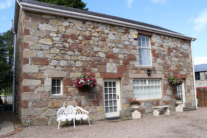 Indicated (1838).Fairy fort / earthen ringfort · 128 yd
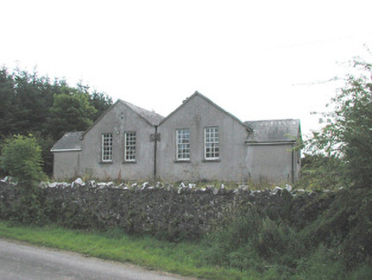 Bunnanaddan National Schoolschool · 596 yd
 Abbey (in Ruins)Religious house, Dominican friars · 669 yd
 Tymon's HillMountain / peak · 739 yd
 Fulacht fia in BrackcloonaghFulacht fia · 934 yd
 Castle (in Ruins)Castle, tower house · 1304 yd
 Ballyfahy Castle (in Ruins)Castle, unclassified · 1.3 mi
 ElderElder · 3.6 mi
 Brother WalfridMemorial · 3.8 mi
 European ashEuropean ash · 4.1 mi
 Muckelty HillMountain / peak · 4.1 mi
 Caves of KeshCave · 6.1 mi
Other information
Photo: Credit not shown in the picture search · Rights wording not checked; contact us if this picture should be removed