What is recorded here
On a SE-facing slope of a field c. 30m S of the former Mount Firoda House. This circular feature (diam. c. 50m) is not indicated on the 1st (1839) ed. 6-inch OS map. It appears to be associated with Mount Firoda house and was known locally as a ring for training horses. The feature is not visible at ground level.
Compiled by: Jean Farrelly
Date of upload: 25 April 2017
The monument record does not grant public access. Check the route and ask the landowner before entering private land.
- What survives
- Recorded monument
Places near here
 Enclosure in Ironmills OR KilrushEnclosure · 1591 yd
 IndicatedCastle, ringwork · 1.2 mi
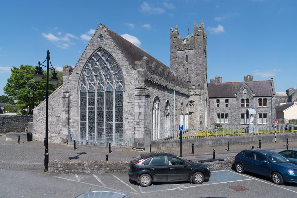 Abbey (in ruins)Religious house, unclassified · 1.4 mi
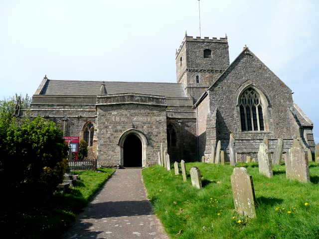 St. Chaddens Church (in ruins)Church · 1.5 mi
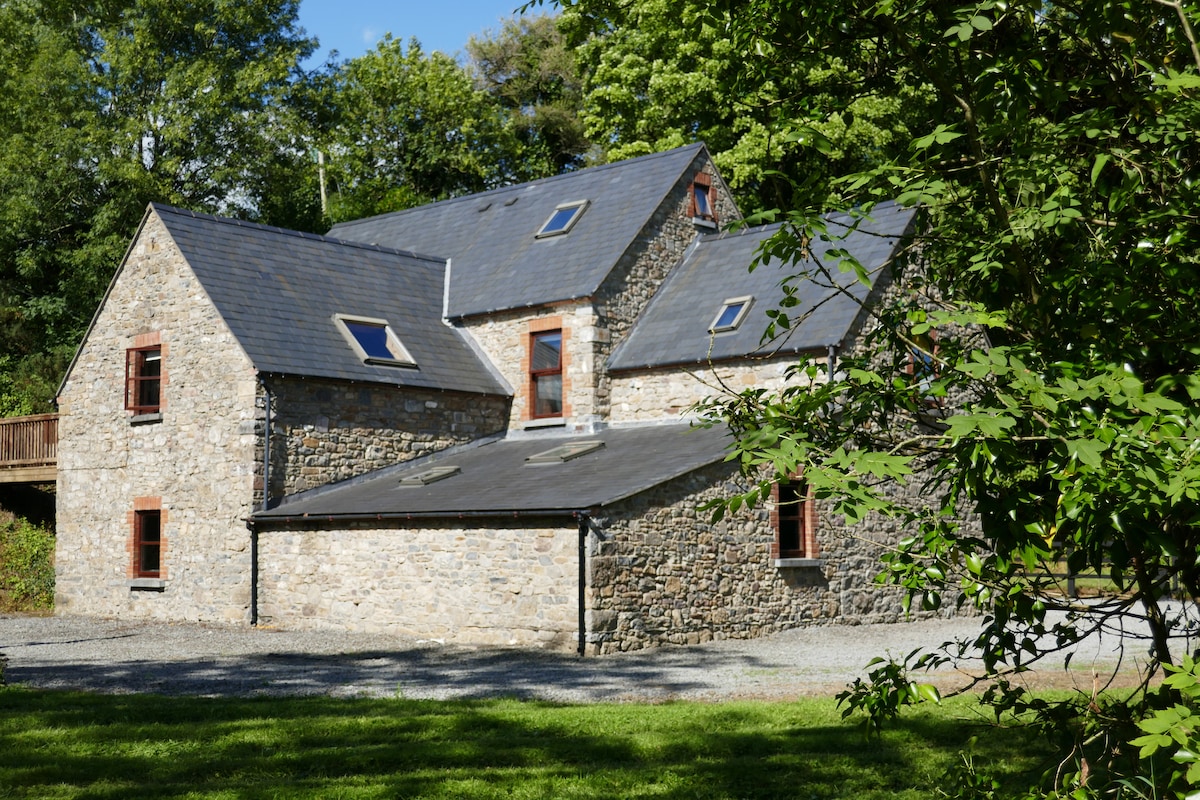 Enclosure in ByrnesgroveEnclosure · 2.2 mi
 (Site of) CastleCastle, unclassified · 2.3 mi
 1798 MonumentMemorial · 2.8 mi
 Common LimeCommon Lime · 3.1 mi
 Graveyard in SraleaghGraveyard · 3.2 mi
 Ardra LoopWalking route · 3.3 mi
 Castlecomer Discovery ParkHeritage attraction · 3.6 mi
 Footprints In CoalMuseum · 3.7 mi