
What is recorded here
Indicated, Glenmagoo OR Firoda Lower is a ringwork castle on the SW end of a hill in County Kilkenny, Ireland. Its oval earth platform rises toward a smaller inner bank, perhaps the ghost of a collapsed building, while a deep quarry bites into the south-west edge. From the top, Mount Leinster appears far to the south-east, making the place feel less like a hidden field mark and more like a watchtower built for sight, judgment and command.
In a commanding position on top of the SW end of a hill. The hill may have been scarped along the S side to provide material for the monument while creating a flat berm. In hilly terrain, under pasture. A river valley runs roughly E-W at base of steep slope of hill to S. There are good views in all directions, particularly extensive to the S with Mount Leinster visible on the horizon to the SE.
A raised oval earthen platform (diam. 38m N-S; 45.3m E-W) defined by scarp (H 1.22-2.05m; Wth 4.1-4.4m). The interior rises gradually (H 2.25m over 24m), up to a somewhat irregular internal enclosure (overall dims. 18.8m N-S; 18.4m E-W; dims. at top 9.8m N-S; 11.1m E-W) defined by a bank (Wth 5m; int. H 0.11m; ext. H 0.6m), which may be the remains of a collapsed building. A large deep quarry encroaches on the SW quadrant of the monument. There is no obvious entrance. There is some stone visible in the composition of the platform. There is a later narrow rectangular trench (L 14m; Wth 2.2m) in the NE quadrant and a shallow depression in the E quadrant near the field boundary. A field boundary runs NW-SE skirting the NW quadrant and another runs NW-SW skirting the edge of the NE sector. The elevated position of this monument, combined with the platform construction and raised interior suggest this is not a ringfort and is more likely to be a ringwork.
Compiled by: Jean Farrelly
Date of upload: 16 November 2017
The monument record does not grant public access. Check the route and ask the landowner before entering private land.
- What survives
- Recorded monument
Places near here
 CastleCastle, unclassified · 1.2 mi
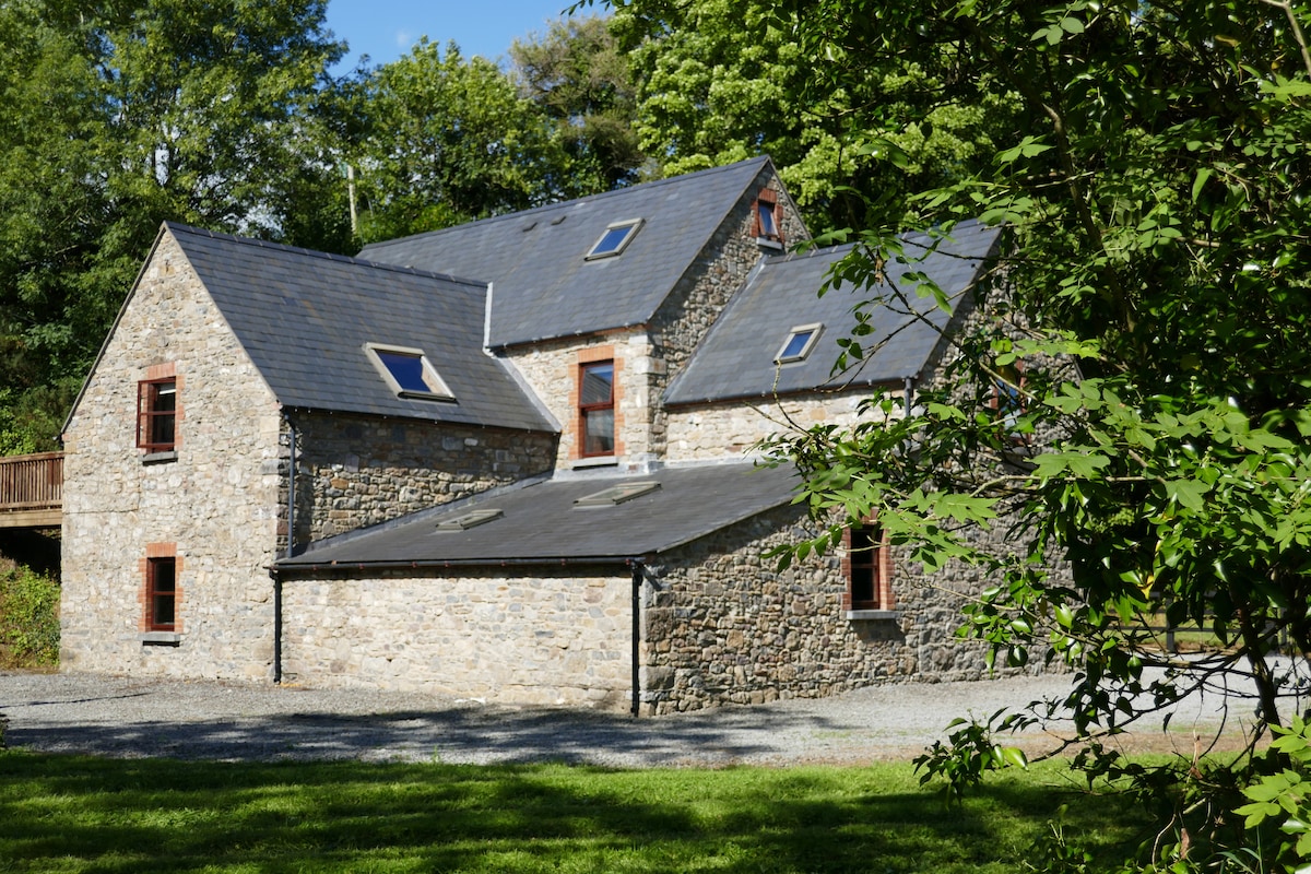 Enclosure in ByrnesgroveEnclosure · 1.5 mi
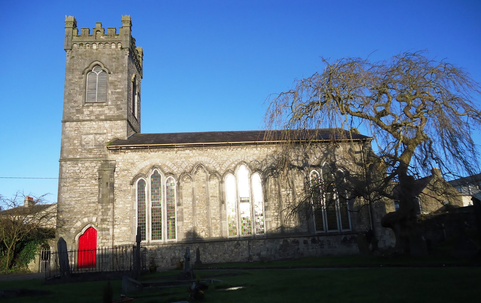 Church in Kiltown (fassadinin By.)Church · 1.5 mi
 Enclosure in Ironmills OR KilrushEnclosure · 1.9 mi
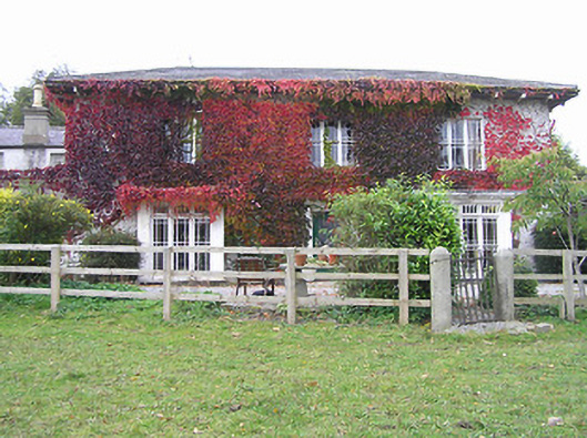 The Cottagehouse · 2.1 mi
 Ardra LoopWalking route · 2.2 mi
 Creamery HouseMemorial · 2.3 mi
 1798Memorial · 2.4 mi
 Castlecomer Discovery ParkHeritage attraction · 2.5 mi
 Footprints In CoalMuseum · 2.5 mi
 The GarrisonCastle, motte · 2.5 mi
 European YewEuropean Yew · 2.8 mi
Other information
Photo: Credit not shown in the picture search · Rights wording not checked; contact us if this picture should be removed