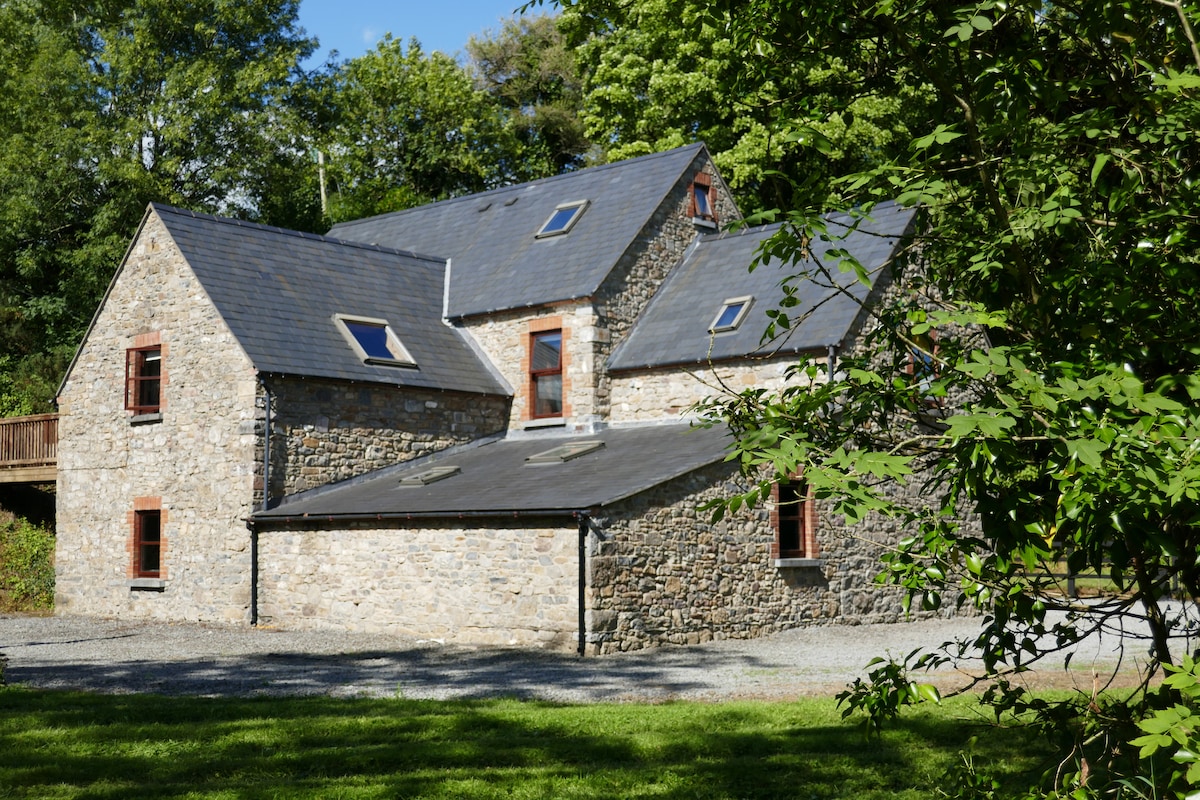
What is recorded here
Occupying the top of a knoll at the NW end of a ridge, in undulating terrain, surrounded by pasture. Slightly higher ground to NNE and small gully to the W. View to N impeded by rising ground and forestry, to E restricted to a neighbouring ridge and extensive views S and W. Heavily overgrown with gorse and brambles in interior and around the perimeter. It is depicted on the 1899 OS 6-inch map as a rectangular area (dims. NW-SE c. 41m; NE-SW c. 30m) with rounded corners. It is enclosed by an earthen bank (overall Wth 2.6-3.1m; Wth at crest 0.7-1m; int. H 0.2m; ext. H 0.95-1.17m) and fosse (Wth 1.15m; D 0.03m) visible in the SE quadrant. There are a lot of small stones in the bank composition. The interior seems to be flat and raised above the exterior. There is quite a steep slope along the W side. The shape of the monument suggests this is not a ringfort and though positioned on top of a knoll, the enclosing bank is not very substantial.
Compiled by: Jean Farrelly
Date of upload: 9 April 2018
A local fairy fort (ringfort/rath); wider significance not recorded.
The monument record does not grant public access. Check the route and ask the landowner before entering private land.
- What survives
- Recorded monument
Places near here
 IndicatedEnclosure · 1194 yd
 Church in GarrannaguillyChurch · 1.2 mi
 Enclosure in RathkyleEnclosure · 1.2 mi
 CastleCastle, unclassified · 1.2 mi
 Church in FinnanChurch · 1.8 mi
 Graveyard in SraleaghGraveyard · 2.1 mi
 Donaghmore WellSpring · 2.6 mi
 Site of CastleCastle, unclassified · 2.7 mi
 European BeechEuropean Beech · 2.7 mi
 Ardra LoopWalking route · 2.7 mi
 Castlecomer Discovery ParkHeritage attraction · 2.8 mi
 Estate YardMemorial · 2.8 mi
Other information
Photo: Credit not shown in the picture search · Rights wording not checked; contact us if this picture should be removed