What is recorded here
On level ground in upland terrain, in a buffer zone surrounded by forestry. Enclosure heavily overgrown with long tufted grass, reeds and heather. Defined by a bank (overall Wth 2m; Wth at crest 0.7m; int. H 0.67m; ext. H 0.65m) with shallow internal (Wth 1.7m; D 0.1m) and external fosse (Wth 1.1m; D 0.15m). The bank and interior are particularly heavily overgrown with heather. The enclosure is not marked on the 1st (1839) ed. OS 6-inch map and is indicated on the 1900 revision as a circular enclosure, drawn as a continuous circular rather than hachured. This suggests that the enclosure may be post-1800 in date, possibly a sheep pen. However, the circularity of the enclosure could indicate an earlier origin.
Compiled by: Jean Farrelly
Date of upload: 4 April 2018
The monument record does not grant public access. Check the route and ask the landowner before entering private land.
- What survives
- Recorded monument
Places near here
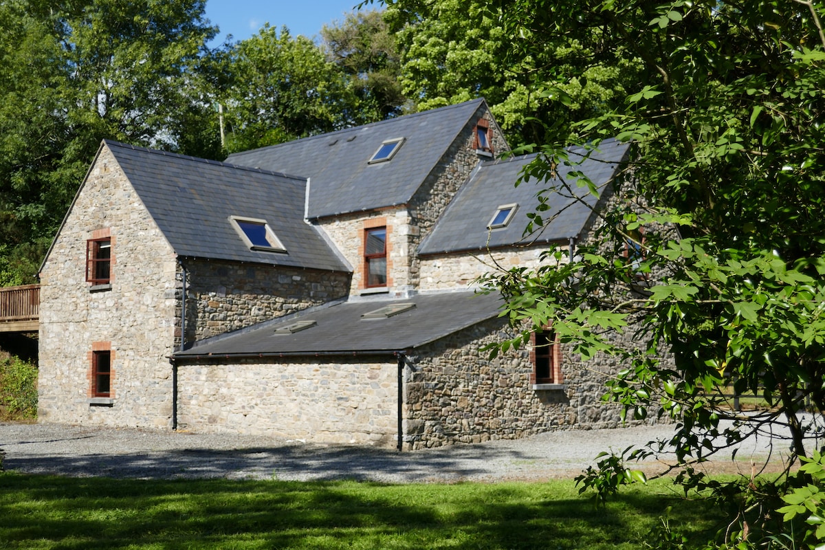 Enclosure in ByrnesgroveEnclosure · 1194 yd
 Church in GarrannaguillyChurch · 1.3 mi
 CastleCastle, unclassified · 1.4 mi
 Enclosure in RathkyleEnclosure · 1.9 mi
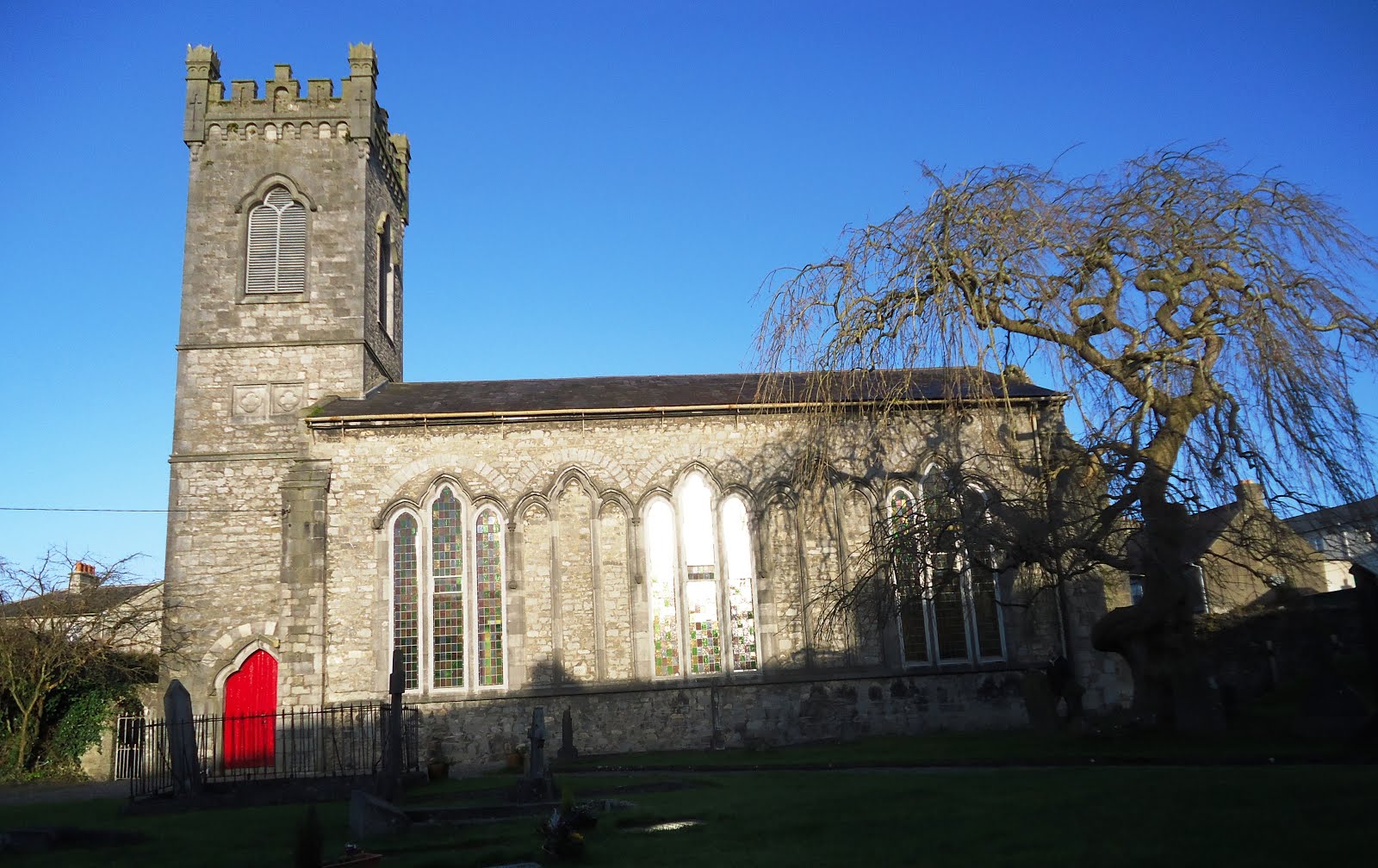 Church in Kiltown (fassadinin By.)Church · 2.0 mi
 Graveyard in SraleaghGraveyard · 2.2 mi
 Creamery HouseMemorial · 2.7 mi
 Ardra LoopWalking route · 2.8 mi
 Castlecomer Discovery ParkHeritage attraction · 2.9 mi
 Footprints In CoalMuseum · 3.0 mi
 Donaghmore WellSpring · 3.0 mi
 European BeechEuropean Beech · 3.0 mi
Other information
Photo: Credit not shown in the picture search · Rights wording not checked; contact us if this picture should be removed