What is recorded here
On a low N-S ridge in mixed tillage and pasture. The monument is a partially overgrown, circular, round-topped, earthen mound (diam. at base c. 22m; diam. at top c. 5.5m; H c. 4m) with gently sloping sides, which are crossed NE-SW by old cultivation ridges. Visible on a 2005 aerial photograph (OSi Orthophoto)
Compiled by: Gearóid Conroy
Date of upload: 10 June 2011
Neolithic passage tomb; dates to the earlier part of the Neolithic period in Ireland (c. 3700–2500 BCE). It represents a significant megalithic tradition associated with early farming communities and ritual practices.
The monument record does not grant public access. Check the route and ask the landowner before entering private land.
- What survives
- Recorded monument
Places near here
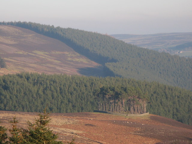 TumulusWood · 10 yd
 Kavanaghs MoatFairy fort / earthen ringfort · 534 yd
 IndicatedCastle, motte · 1055 yd
 Enclosure in Millicent Demesne,millicent NorthEnclosure · 1277 yd
 ICAMemorial · 1739 yd
 King Mesgegra’s Mound & later Norman MotteMemorial · 1759 yd
 Alexandra Bridgebridge · 1.0 mi
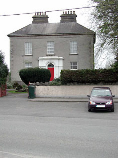 The Presbyterypresbytery/parochial/curate's house · 1.1 mi
 Castle (in Ruins)Castle, unclassified · 1.3 mi
 Dunne's IslandWood · 1.4 mi
 Grand Canal WayWalking route · 1.7 mi
 Museum of MotorsportMuseum · 2.3 mi