
What is recorded here
A D-shaped area is shown defined by field boundaries within a wood on the 1st ed. (1838) of the OS 6-inch map and may represent the E-half of a former enclosure, possibly a ringfort. However, this portion of the wood has been cleared and the area sown with corn' (SMR file, 1985). Near the top of a moderately steep NW-facing tillage slope. Not visible at ground level. The clearance of the area may have been associated with the construction of a Church of Ireland church and graveyard immediately to the S, which, according to a plaque, was consecrated in 1883.
Compiled by: Gearóid Conroy
Date of upload: 10 June 2011
The monument record does not grant public access. Check the route and ask the landowner before entering private land.
- What survives
- Recorded monument
Places near here
 Font (present location) in Millicent DemesneFont (present location) · 108 yd
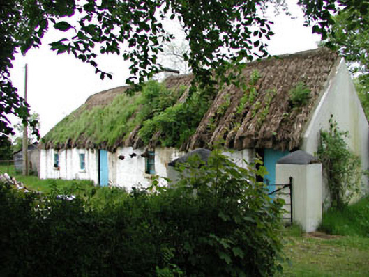 Mill Cottagehouse · 1209 yd
 Castle (in Ruins)Castle, unclassified · 1246 yd
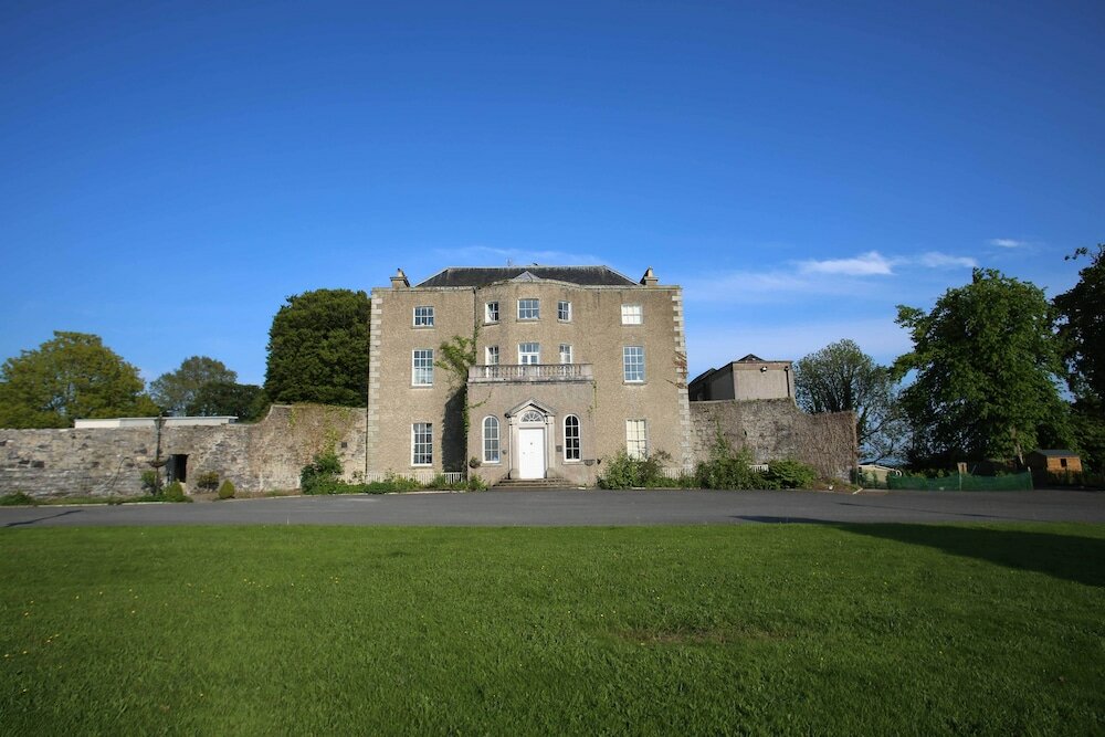 Sunday WellHoly well · 1330 yd
 TumulusCastle, motte · 1339 yd
 Alexandra Bridgebridge · 1362 yd
 King Mesgegra’s Mound & later Norman MotteMemorial · 1393 yd
 ICAMemorial · 1639 yd
 Dunne's IslandWood · 1.1 mi
 Museum of MotorsportMuseum · 2.6 mi
 Naas ParkWood · 3.4 mi
 Poplar SquarePicnic place · 4.1 mi
Other information
Photo: Credit not shown in the picture search · Rights wording not checked; contact us if this picture should be removed