What is recorded here
In improved pasture, on E-side of a broad ridge. Building is depicted on the 2nd (1906) ed. OS 6-inch map in the NW quadrant of an enclosure (TS060-082----). Roughly square area (dims. 8m NNE-SSW; 8m ESE-WNW) defined by scarp (Wth 6m; H 0.85m) on W (L 5.5m) and S (L 7m) sides (L 5.5m) which is more pronounced (H 2.3m) on the N (L 6m) and E (L 6m) sides. Scarp bulges outwards at S-end, E-side. Interior is level.
Compiled by: Jean Farrelly
Date of upload: 26 August 2011
The monument record does not grant public access. Check the route and ask the landowner before entering private land.
- What survives
- Recorded monument
Places near here
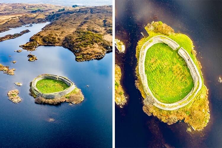 Doon FortArchaeological place · 3 yd
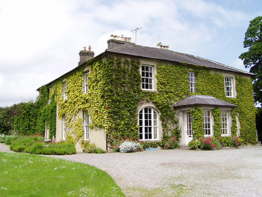 Ballinamona Househouse · 616 yd
 Enclosure in Deerpark (horeabbey Par.)Enclosure · 1173 yd
 Site of CastleCastle, unclassified · 1338 yd
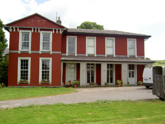 Deerpark Househouse · 1346 yd
 Hore AbbeyHeritage attraction · 1.1 mi
 Ballynahinch Castle (in ruins)Castle, tower house · 1.3 mi
 Black mulberryBlack mulberry · 1.4 mi
 Rock of CashelHeritage attraction · 1.4 mi
 The Rock Of CashelVisitor information · 1.4 mi
 Dundrum Woods (Marl Bog)Forest · 6.6 mi
 Enclosure in Ballinamona (horeabbey Par.)Enclosure · 1187 yd