
What is recorded here
In improved pasture, on a S-facing slope. Identified as a roughly circular enclosure on an aerial photograph (GSI S.629/628, 16/04/1974). No visible surface trace.
Compiled by: Jean Farrelly
Date of upload: 26 August 2011
The monument record does not grant public access. Check the route and ask the landowner before entering private land.
- What survives
- Recorded monument
Places near here
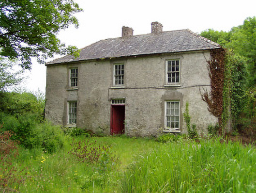 Castlelake Millmiller's house · 561 yd
 Kilbrista ChurchChurch · 630 yd
 Field system in CastlelakeField system · 925 yd
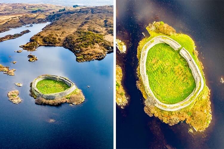 Doon FortArchaeological place · 1190 yd
 Ballynahinch Castle (in ruins)Castle, tower house · 1230 yd
 Site of CastleCastle, unclassified · 1.3 mi
 Hore AbbeyHeritage attraction · 1.4 mi
 Rock of CashelHeritage attraction · 1.8 mi
 The Rock Of CashelVisitor information · 1.8 mi
 Black mulberryBlack mulberry · 1.8 mi
 Maudemount BogWood · 6.7 mi
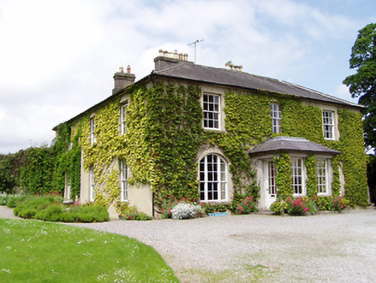 Ballinamona Househouse · 711 yd
Other information
Photo: Credit not shown in the picture search · Rights wording not checked; contact us if this picture should be removed