What is recorded here
In improved pasture, on an E-facing slope, to immediate SE of ringfort (TS060-083001-). Only possible to see the northern arc of this monument as an 8m band of grass has been cut along margin of field for silage. The rest of the field is still in hay and nothing can be seen. Circular area depicted on aerial photograph (1273/4) defined by scarp (Wth 4.5m; H 0.5m) only seen at NW. It appears defined by a low levelled bank NNW-NNE, but this is a shared piece of ground between fosse of ringfort (TS060-083001-) and scarp of this enclosure (TS060-083002-). Completely levelled out at NE, so not possible to define sides of monument.
Compiled by: Jean Farrelly
Date of upload: 26 August 2011
The monument record does not grant public access. Check the route and ask the landowner before entering private land.
- What survives
- Recorded monument
Places near here
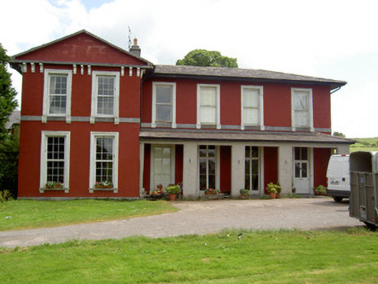 Deerpark Househouse · 459 yd
 ArbourEnclosure · 546 yd
 Hore AbbeyHeritage attraction · 842 yd
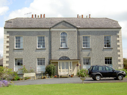 Rock Abbeyhouse · 941 yd
 Enclosure in St. PatricksrockEnclosure · 1171 yd
 Black mulberryBlack mulberry · 1302 yd
 Rock of CashelHeritage attraction · 1377 yd
 The Rock Of CashelVisitor information · 1389 yd
 Site of CastleCastle, unclassified · 1.2 mi
 Ballynahinch Castle (in ruins)Castle, tower house · 1.8 mi
 Ballyknock HillMountain / peak · 2.0 mi
 Dundrum Woods (Marl Bog)Forest · 7.1 mi
Other information
Photo: Credit not shown in the picture search · Rights wording not checked; contact us if this picture should be removed