
What is recorded here
In improved, undulating pasture, with an excellent view of Rock of Cashel to NE. Oval area (overall dims. 39m ENE-WSW; 28m NNW-SSE) defined by remains of levelled bank (overall Wth 18m; Wth at top 4.5m; int. H 1.6m; ext. H 0.05m) which is better defined on interior NE-SE and less defined (overall Wth 6m; Wth at top 4m; int. H 0.1m; ext. H 0.05m) SW-NW and NW-NE. This bank may correspond to field boundary depicted on latest edition OS 6-inch map. Possible fosse (overall Wth 4.5m; basal Wth 1m; D 0.15m) NE-SE but this may be a drainage feature. Interior is uneven and sides slope inward from E and S to a generally level area. The monument is depicted on the 1st (1840-41) ed. OS 6-inch map as a circular enclosure (map dims. 47m). On the 2nd (1906) ed. map the monument is depicted with hachures indicating a quarry. According to Wheeler (OPW files 1957), 'the site marked as Arbour on the map is of no archaeological interest. He describes it as a 'quarry-hole with an ice-house inside and a tree-ring around it' (ibid.). Local information confirms the presence of an ice-house here until relatively recent times. This monument may be a tree-ring, though an earlier enclosure could have been utilised for this purpose.
Compiled by: Jean Farrelly
Date of upload: 26 August 2011
A local fairy fort (ringfort/rath); wider significance not recorded.
The monument record does not grant public access. Check the route and ask the landowner before entering private land.
- What survives
- Recorded monument
Places near here
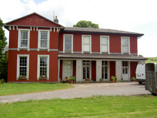 Deerpark Househouse · 207 yd
 Enclosure in Deerpark (horeabbey Par.)Enclosure · 546 yd
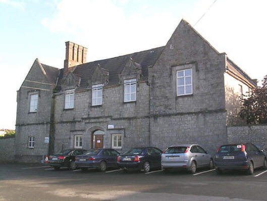 Saint Patrick's Hospitalworkhouse · 981 yd
 Hilltop enclosure in WindmillHilltop enclosure · 1166 yd
 Hore AbbeyHeritage attraction · 1246 yd
 Black mulberryBlack mulberry · 1508 yd
 Cashel Folk MusuemMuseum · 1562 yd
 The Rock Of CashelVisitor information · 1662 yd
 Site of CastleCastle, unclassified · 1.0 mi
 Shanballyduff CastleCastle · 1.7 mi
 Ballyknock HillMountain / peak · 2.2 mi
 Dundrum Woods (Marl Bog)Forest · 7.3 mi
Other information
Photo: Credit not shown in the picture search · Rights wording not checked; contact us if this picture should be removed