What is recorded here
In improved pasture, on top of a conspicuous rise (spot height 143m OD). Excellent views in all directions and Rock of Cashel clearly visible to NNE. Oval area (dims. 59m N-S; 54m E-W) defined by earthen bank (overall Wth 9.75m; max. Wth at top 2.5m; int. H 0.3-0.5m; ext. H 1.45m). Large area (dims. 12m N-S; 8m E-W) excavated from bank at E. Entrance (overall Wth 5.5m; basal Wth 2.3m) at NE. U-shaped fosse (overall Wth 12.75m; basal Wth 2m; D 1.1m) best preserved NNW-WSW is truncated by field boundary around outer elements WSW-NNW. Field boundary respects monument around N-arc. Ring of mature trees around exterior of fosse may cling onto remains of an outer bank (overall Wth 4.55m; Wth at top 2m; int. H 0.25m; ext. H 0.15m) apparent N-ESE. Interior has a low rise off-centre to N, which may represent remains of a structure. Rectangular enclosure (TS061-167----) abuts monument c. 1.5m to E and leper hospital (TS061-073----) is c. 25m to ENE.
In improved pasture, on top of a conspicuous rise (spot height 143m OD). Excellent views in all directions and Rock of Cashel clearly visible to NNE. Oval area (dims. 59m N-S; 54m E-W) defined by earthen bank (overall Wth 9.75m; max. Wth at top 2.5m; int. H 0.3-0.5m; ext. H 1.45m). Large area (dims. 12m N-S; 8m E-W) excavated from bank at E. Entrance (overall Wth 5.5m; basal Wth 2.3m) at NE. U-shaped fosse…
From the National Monuments Service (Archaeological Survey of Ireland) record TS061-072
The monument record does not grant public access. Check the route and ask the landowner before entering private land.
- What survives
- Recorded monument
Places near here
Photo credits
- National Inventory of Architectural Heritage
- P L Chadwick, Geograph · CC BY-SA 2.0
- Maker named on the Wikimedia Commons picture page · Public domain
- Jonathan Thacker, Geograph · CC BY-SA 2.0
- Neil Theasby, Geograph · CC BY-SA 2.0
- Warren LeMay from Covington, KY, United States, Wikimedia Commons · CC0
- dougf, Geograph · CC BY-SA 2.0
- P L Chadwick, Wikimedia Commons · CC BY-SA 2.0
- Chmouel Boudjnah Original uploader was Chmouel at fr.wikipedia, Wikimedia Commons · CC BY-SA 3.0
- Deemaykay, Wikimedia Commons · CC BY-SA 4.0
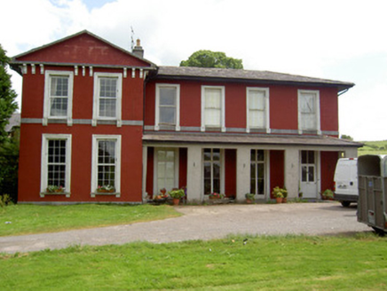 Deerpark HouseHouse · 1198 yd
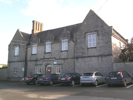 Saint Patrick's HospitalWorkhouse · 1248 yd
 Cashel Folk MuseumMuseum · 1.1 mi
 Black mulberry1.1 miBlack mulberry1.1 mi
 Hore AbbeyHeritage attraction · 1.2 mi
 The Rock Of CashelVisitor information · 1.2 mi
.jpg/250px-Cashel_Cathedral,_Rock_of_Cashel,_Caiseal,_%C3%89ire_(32717185898).jpg "Photo: Warren LeMay from Covington, KY, United States, Wikimedia Commons · CC0") St. Patricks CathedralCathedral · 1.3 mi
St. Patricks CathedralCathedral · 1.3 mi Ballynahinch Castle (in ruins)Castle, tower house · 2.6 mi
 Castle in ruinsCastle, tower house · 3.8 mi
 Siege of Cahir CastleSiege · 8.8 mi
 CrossCross, High cross · 10 mi
More archaeology and monuments in County Tipperary · All of County Tipperary
What do you know about this place?