What is recorded here
On a level landscape. Described as an overgrown circular area (diam. 39m E-W; 38m N-S) defined by an earthen bank and rounded fosse (Gannon 1972). It has been removed and replaced by a pond. Rath (RO029-018002-) was attached to the E. Raths (RO028-019----; RO028-020----) are c. 190m and c. 210m to the NE respectively.
Compiled by: Michael Moore
Date of upload: 24 August 2010
This remains an important historical record, but the official description says the monument is no longer visible or has been destroyed. The monument record does not grant public access. Check the route and ask the landowner before entering private land.
- What survives
- No visible remains or recorded as destroyed
Places near here
 IndicatedFairy fort / earthen ringfort · 665 yd
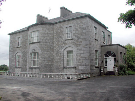 The Gleberectory/glebe/vicarage/curate's house · 1055 yd
 Enclosure in CloonslanorEnclosure · 1162 yd
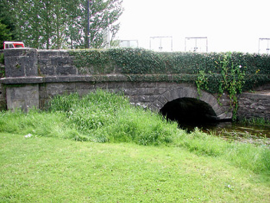 Historic buildingOfficially recorded historic building · 1507 yd
 Common LimeCommon Lime · 1640 yd
 Strokestown House GardensHeritage attraction · 1722 yd
 Sweet ChestnutSweet Chestnut · 1.1 mi
 CastleCastle, unclassified · 1.2 mi
 Strokestown ParkHeritage attraction · 1.2 mi
 Slieve BawnMountain / peak · 3.4 mi
 Leitrim CastleCastle, unclassified · 4.0 mi
 Commons North WalkVisitor information · 8.0 mi