
What is recorded here
Marked only on the 1915 ed. of the OS 6-inch map as a small hachured feature. Located at the crest of the N end of a low NW-SE ridge. Circular grass-covered area (diam. 15.5m N-S) defined by a flat-topped earthen bank with some stones (Wth of top 2.8m; Wth of base 4.3-5.3m; int. H 0.2-0.3m; ext. H 0.3-0.9m), which has been removed SW-NW. It may be a ring-barrow, and it has been removed since 1996 (Bing c. 2013).
Compiled by: Michael Moore
Date of upload: 24 August 2010
A local fairy fort (ringfort/rath); wider significance not recorded.
This remains an important historical record, but the official description says the monument is no longer visible or has been destroyed. The monument record does not grant public access. Check the route and ask the landowner before entering private land.
- What survives
- No visible remains or recorded as destroyed
Places near here
 IndicatedFairy fort / earthen ringfort · 1563 yd
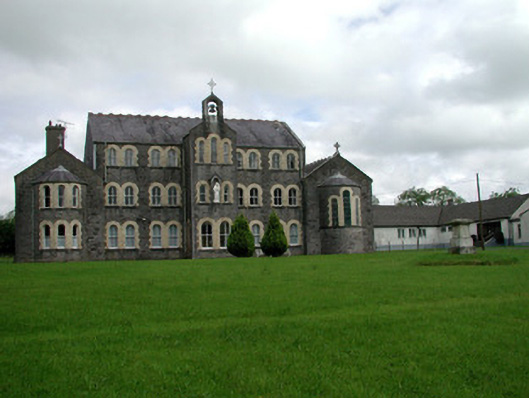 Convent of Mercyconvent/nunnery · 1580 yd
 Saint John's Church (Bumlin)church/chapel · 1603 yd
 Common LimeCommon Lime · 1.2 mi
 Sweet ChestnutSweet Chestnut · 1.3 mi
 Strokestown House GardensHeritage attraction · 1.3 mi
 Strokestown ParkHeritage attraction · 1.6 mi
 CastleCastle, unclassified · 1.7 mi
 Leitrim CastleCastle, unclassified · 3.8 mi
 Slieve BawnMountain / peak · 3.9 mi
 Commons North WalkVisitor information · 8.5 mi
Other information
Photo: Credit not shown in the picture search · Rights wording not checked; contact us if this picture should be removed