What is recorded here
Situated on a SE-facing slope. Circular area (diam. 31m E-W; 30m N-S) defined by an earth and stone bank (Wth 3.5-4.5m; int. H 0.8-1.5m; ext. H 1m at N (upslope) to 2m at S), which is incorporated into a field bank at N. There is no visible fosse, but there is a possible original entrance (Wth 2.6m) at E. It is planted with coniferous trees.
From the National Monuments Service (Archaeological Survey of Ireland) record WA007-043
The monument record does not grant public access. Check the route and ask the landowner before entering private land.
- What survives
- Recorded monument
Places near here
Photo credits
- National Inventory of Architectural Heritage
- Peter Taylor, Wikimedia Commons · CC BY-SA 2.0
- ethics girl, Geograph · CC BY-SA 2.0
- Mike Murphy ( talk · contribs ), Wikimedia Commons · CC BY-SA 3.0
- Yosemite, Wikimedia Commons · CC BY-SA 3.0
- MainlyTwelve, Wikimedia Commons · CC BY-SA 4.0
- kevin higgins, Geograph · CC BY-SA 2.0
Embanked enclosureFairy fort / earthen ringfort · 1159 ydEnclosure in BallydurnEnclosure · 1638 yd Newtown FarmOutbuilding · 1.7 miNewtown FarmWater pump · 1.7 miNewtown National SchoolSchool · 1.7 miCroughaun HillMountain / peak · 2.0 miCastleCastle, tower house · 2.5 miGiant Sequoia3.2 miJapanese cedar3.2 miCurraghmore HouseCastle · 3.5 miMahon ValleyCliff · 6.4 miSeefinMountain / peak · 8.8 mi
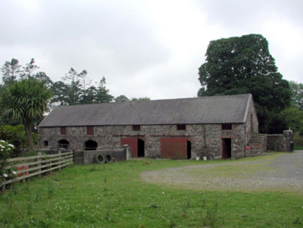 Newtown FarmOutbuilding · 1.7 mi
 Newtown FarmWater pump · 1.7 mi
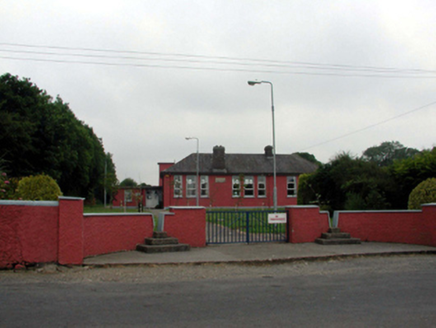 Newtown National SchoolSchool · 1.7 mi
 Croughaun HillMountain / peak · 2.0 mi
 CastleCastle, tower house · 2.5 mi
 Giant Sequoia3.2 mi
 Japanese cedar3.2 mi
 Curraghmore HouseCastle · 3.5 mi
 Mahon ValleyCliff · 6.4 mi
 SeefinMountain / peak · 8.8 mi
More archaeology and monuments in County Waterford · All of County Waterford
What do you know about this place?