What is recorded here
In a slight hollow in grassland, c. 500m SE of the Redemptorist Abbey of Esker. This natural spring well is known locally as ‘Dominic’s Well’. Little is known of its origin (Anon. 1982, 23), though it may date to the arrival of the Dominicans in Esker following the destruction of their priory (GA084-001014-) in…
Read the whole record
From the National Monuments Service (Archaeological Survey of Ireland) record GA096-174
Places near here
Photo credits
- Maker not stated on source page, tr.pinterest.com
- National Inventory of Architectural Heritage
- Maker not stated on source page, www.pinterest.com
- Maker not stated on source page, en.wikipedia.org
- Maker not stated on source page, monumentalireland.ie
- Maker not stated on source page, commons.wikimedia.org
- Mike Searle, Geograph · CC BY-SA 2.0
- Maker not stated on source page, www.flickr.com
 Mapped cemeteryCemetery · 187 yd
Explorer Tom Mapped cemetery in County Galway exists because map makers got it wrong about where the road actually goes. They just…
 Saint Patrick's Redemptorist MonasteryChurch/chapel · 296 yd
Explorer Tom Saint Patrick's Monastery church loves the song 'Walking on Sunshine' because they finally got to build after Catholic…
 Fairy fort / earthen ringfort in Gloves SouthFairy fort / earthen ringfort · 1643 yd
Explorer Tom Fairy fort / earthen ringfort in Gloves South is a low mound known as a 'Lisheen,' which sounds like a sneeze. The…
 Rathgorgin Castle (in ruins)Castle, unclassified · 1.1 mi
Explorer Tom Rathgorgin Castle is in a quiet rivalry with a much more famous place down the road, but it’s losing badly. Nobody…
 CastleCastle, unclassified · 1.2 mi
Explorer Tom Castle in Kiltullagh North, Galway is picking fights with the wind because it's not located properly. Tirlagh Mc Swyne…
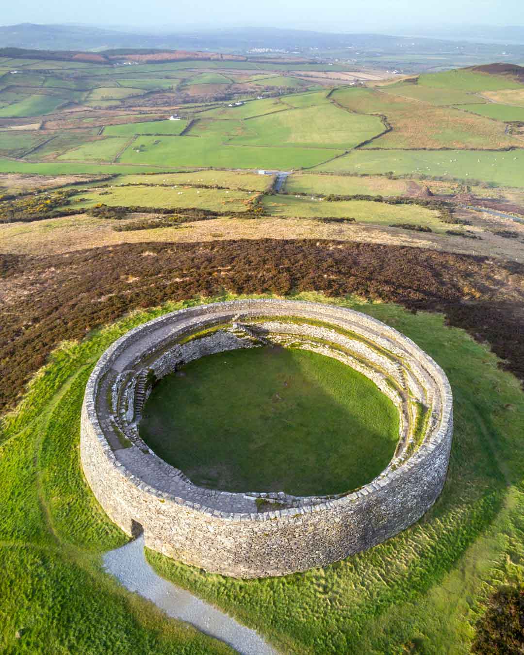 Fairy fort / earthen ringfort in Gloves MiddleFairy fort / earthen ringfort · 1.3 mi
Explorer Tom Fairy fort / earthen ringfort in Gloves Middle would teach history by making everyone sit in the wet ditch until they…
 Fairy fort / earthen ringfort in Kiltullagh NorthFairy fort / earthen ringfort · 1.3 mi
Explorer Tom Fairy fort / earthen ringfort in Kiltullagh North is on a rise, looking down its nose at the rest of the valley. It was…
 Kiltullagh HouseCountry house · 1.4 mi
Explorer Tom Kiltullagh House in Kiltullagh North holds a fake world record for 'Most Lopsided Ruin.' It’s got shot holes from the…
 Kiltullagh Church (in ruins)Church · 1.5 mi
Explorer Tom Kiltullagh Church in Kiltullagh North would tell you it has great references from 1838, even though half its walls are…
 Fairy fort / stone ringfort in GreyfordFairy fort / stone ringfort · 1.5 mi
Explorer Tom Fairy fort / stone ringfort in Greyford is guarding its secrets better than a miser with gold. Legends say it only…
 Ratty's BridgeBridge · 1.6 mi
Explorer Tom Ratty's Bridge in Rathgorgin would win a county fair for best dressed stone structure if there was such a category. The…
 Fairy fort / stone ringfort in Kiltullagh SouthFairy fort / stone ringfort · 1.7 mi
Explorer Tom Fairy fort / stone ringfort in Kiltullagh South has a family tree that’s mostly made up and one or two cousins who are…
More archaeology and monuments in County Galway · All of County Galway

What do you know about this place?Tap to add a comment or ask a question