What is recorded here
In grassland situated on a NE-facing slope of rising ground in upland area with good views to E and S, limited views elsewhere. Church and graveyard (TS053-045----/TS053-045001-) 500m to W. A circular area (approx. int. diam. 38m N-S; 44m E-W) enclosed by a tree-line earth and stone bank (base Wth 4m; top Wth 2m; int. H 0.4-0.8m; ext. H 1-1.7m) levelled from W through N to NE, with slight traces of an outer fosse visible at W only and livestock gap (Wth 2m) in bank at W. The NW quadrant of the ringfort appears to have been levelled between the 1st (1840) ed. OS 6-inch map and the 2nd (1953-4) ed.
From the National Monuments Service (Archaeological Survey of Ireland) record TS053-046
Places near here
Photo credits
- National Inventory of Architectural Heritage
- Mike Searle, Wikimedia Commons · CC BY-SA 2.0
- N Chadwick, Geograph · CC BY-SA 2.0
- Neil Theasby, Geograph · CC BY-SA 2.0
- Steven Brown, Geograph · Creative Commons Attribution-ShareAlike 2.0
- Maker named on the Wikimedia Commons picture page · Public domain
 Settlement desertedSettlement deserted, medieval · 481 yd
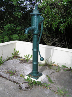 water pump1331 yd
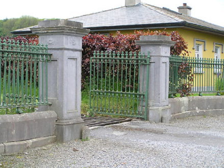 Ballyowen HouseDemesne walls/gates/railings · 1680 ydBallinure HillMountain / peak · 1.2 miTaylor's WoodWood · 1.7 mi
 Synone CastleCastle · 2.5 mi
 Grallagh CastleCastle · 2.7 mi
 Cormac's ChapelHeritage attraction · 4.5 mi
 The Rock Of CashelVisitor information · 4.5 mi
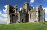 Rock of CashelHeritage attraction · 4.5 mi
 Grave YardGraveyard · 4.5 mi
 Black mulberry4.5 mi
More archaeology and monuments in County Tipperary · All of County Tipperary
What do you know about this place?Tap to add a comment or ask a question