What is recorded here
Indicated is a fairy fort or earthen ringfort in Errironagh, County Roscommon, Ireland. It occupies a circular grass-covered area on the northwest-facing slope of a hill, about eighty metres north of Derreen Lough. A flat-topped earthen bank and hedge define the perimeter, though the structure reduces to a scarp along the northwest and northeast sections. A shallow fosse and berm continue partway around the edge, but no original entrance remains identifiable.
On the NW-facing slope of a hill, c. 80m N of Derreen Lough. Circular grass-covered area (diam. 35.5m NW-SE; 32.5m NE-SW) defined by a flat-topped earthen bank and hedge (Wth 2.4-4.7m; int. H 0.2-0.75m; ext. H 0.55-1.1m), which is reduced to a scarp (H 1.25m) NW-NE. There is a fosse (Wth of top 4.2-4.7m; D 0.1-0.2m) SW-W-NW, continued by a berm (Wth 4m) NW-N, but there is no identifiable original entrance.
Compiled by: Michael Moore
Date of upload: 24 August 2010
The monument record does not grant public access. Check the route and ask the landowner before entering private land.
- What survives
- Recorded monument
Places near here
 ToberdorraghHoly well · 318 yd
 Rockingham Housegate lodge · 719 yd
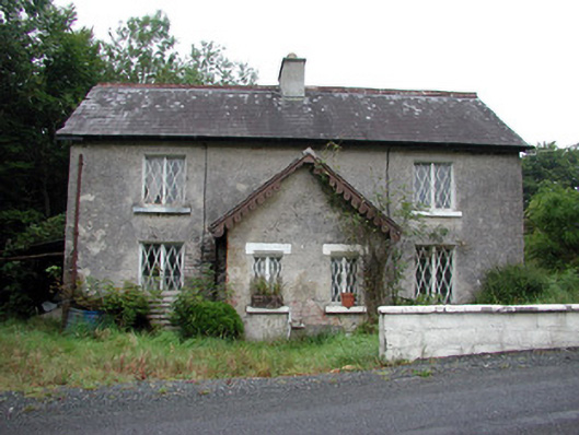 worker's houseworker's house · 780 yd
 Kiltidean Church and Burial Ground (Site of)Church · 868 yd
 Errironagh WoodForest · 1692 yd
 Longford HillMountain / peak · 1.3 mi
 Lahan IslandIslet · 1.5 mi
 Castle IslandIslet · 1.6 mi
 Horse-chestnutHorse-chestnut · 1.7 mi
 Erris BayBay · 2.7 mi
 Moylung Castle (in ruins)Castle, unclassified · 4.1 mi
 Boyle AbbeyHeritage attraction · 4.3 mi