What is recorded here
Situated on the highest point of a prominent hill in Ennistymon town. A trapezoidal-shaped graveyard (c. 100m E-W; c. 90m N-S) defined by a plain mortared wall. An 18th-century church (CL015-103001-) lies in the NW quadrant. The graveyard is still in use and has many 19th and 20th headstones and graveslabs. Two family vaults (Finnucane family) dominate the E slopes.
Compiled by: Mary Tunney
Date of upload: 23 March 2016
The monument record does not grant public access. Check the route and ask the landowner before entering private land.
- What survives
- Recorded monument
Places near here
 Church (in ruins)Church · 41 yd
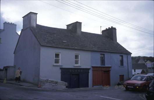 Blake and Linnanehouse · 158 yd
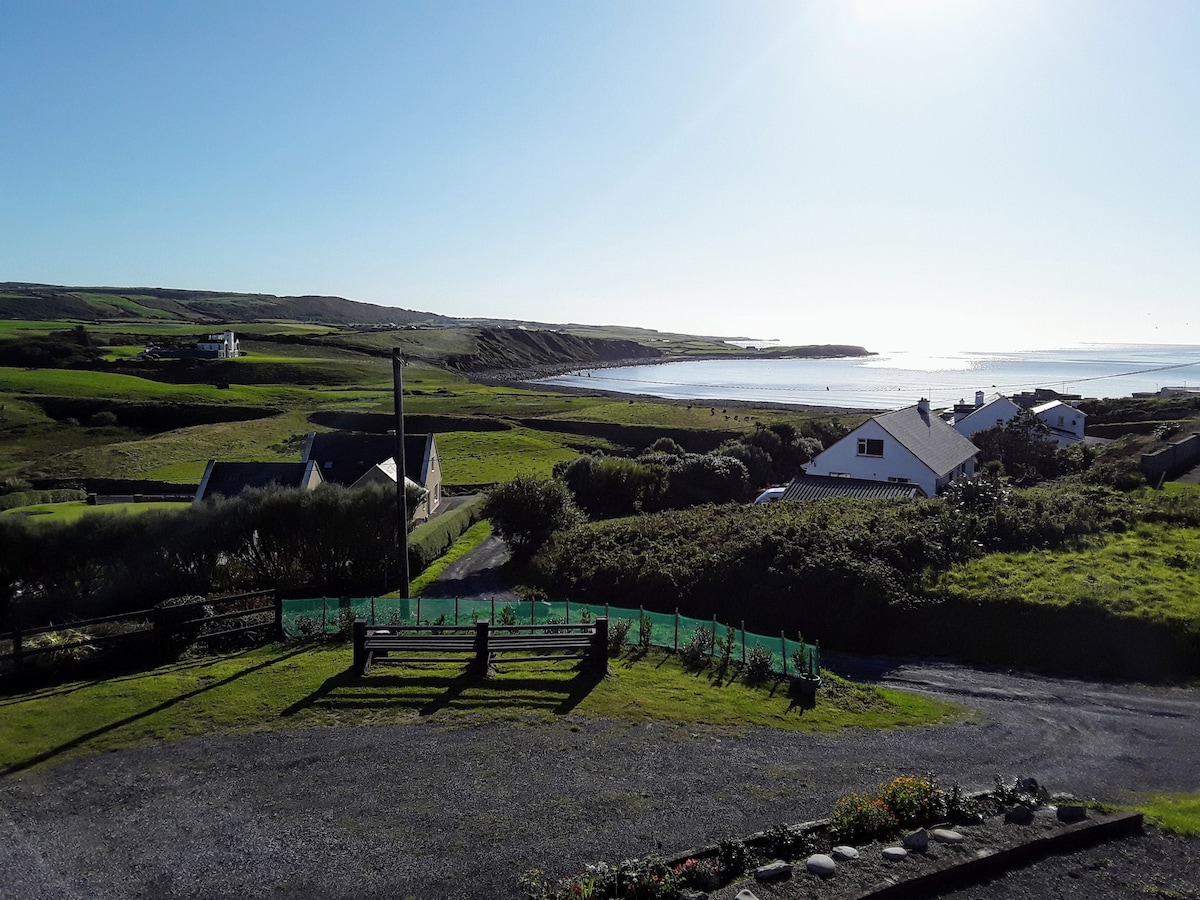 LissabaddraduffFairy fort / earthen ringfort · 924 yd
 Glen Castle (in Ruins)Castle, tower house · 983 yd
 Famine MemorialMemorial · 1622 yd
 LissydeelaFairy fort / earthen ringfort · 1.0 mi
 Kilmanahn GraveyardRuins · 1.1 mi
 Fort Ho.Bawn · 2.0 mi
 Lahinch BeachBeach / strand · 2.7 mi
 TullygarvanWood · 2.7 mi
 John P. Holland CentreMuseum · 4.3 mi
 Burren Centre KilfenoraVisitor information · 4.7 mi