What is recorded here
Situated at a break in a marked SE-facing slope. Circular enclosure (diam. c. 30m) shown on 1907 OS 6-inch map. Site is in forestry, not located.
From the National Monuments Service (Archaeological Survey of Ireland) record WI031-029
The monument record does not grant public access. Check the route and ask the landowner before entering private land.
- What survives
- Recorded monument
Places near here
Photo credits
- National Inventory of Architectural Heritage
- Rosser1954 Roger Griffith, Wikimedia Commons · Public domain
- Hans Hillewaert, Wikimedia Commons · CC BY-SA 3.0
- David Sands, Geograph · CC BY-SA 2.0
- Andreas F. Borchert, Wikimedia Commons · CC BY-SA 4.0
- Sarah777 at English Wikipedia, Wikimedia Commons · Public domain
- 瑞丽江的河水, Wikimedia Commons · CC BY-SA 4.0
- JP, Wikimedia Commons · CC BY-SA 2.0
Enclosure in Cullen LowerEnclosure · 1463 ydEnclosure in CastletimonEnclosure · 1669 yd Saint Michael's HouseCoastguard station · 1.0 miFurzeditch BeachBeach / strand · 1.1 miHighclere holly1.2 miOlive tree1.4 miDunganstown HouseCountry house · 1.6 miBrittas BayBeach / strand · 2.6 miBlack Castle (in ruin)Castle, Anglo-Norman masonry castle · 4.3 miCarrick MountainMountain / peak · 6.3 miViewing TowerHeritage attraction · 7.0 miDevil's Glen WaterfallWaterfall · 8.7 mi
 Saint Michael's HouseCoastguard station · 1.0 miFurzeditch BeachBeach / strand · 1.1 mi
 Highclere holly1.2 mi
 Olive tree1.4 mi
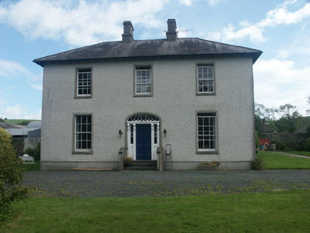 Dunganstown HouseCountry house · 1.6 mi
 Brittas BayBeach / strand · 2.6 mi
 Black Castle (in ruin)Castle, Anglo-Norman masonry castle · 4.3 mi
 Carrick MountainMountain / peak · 6.3 mi
 Viewing TowerHeritage attraction · 7.0 mi
 Devil's Glen WaterfallWaterfall · 8.7 mi
More archaeology and monuments in County Wicklow · All of County Wicklow
What do you know about this place?