What is recorded here
In pasture, on the flat summit of a hill with excellent views of the surrounding countryside. An earthen platform (73m N-S; 90m E-W) defined by a scarp (max. H 0.65-0.8m), eroded in places and with a low internal lip (Wth 1.6-1.8m; H 0.2m), is evident outside the E, S and W sides of the graveyard (SL033-144002-) at…
Read the whole record
From the National Monuments Service (Archaeological Survey of Ireland) record SL033-144008
Places near here
Photo credits
- Deirge O'Dhaoinebeaga, Wikimedia Commons · CC BY-SA 2.0
- Maker not stated on source page, www.alamy.com
- National Inventory of Architectural Heritage
- Willie Duffin, Wikimedia Commons · CC BY-SA 2.0
- Maker not stated on source page, www.tripadvisor.ca
- Maker not stated on source page, www.gettyimages.no
- Maker not stated on source page, www.pinterest.com
 Emlaghfad Church (in Ruins)Church · 17 yd
Explorer Tom Emlaghfad Church: Its family tree is mostly made up of guys named Colmcille and other people who probably didn’t even…
 mill (tread)1140 yd
Explorer Tom That tread mill in Keenaghan looks like it gave up mid-stride. Legend says there’s a biscuit tin buried under the…
 Fairy fort / earthen ringfort in Bellanascarrow EastFairy fort / earthen ringfort · 1334 yd
Explorer Tom Fairy fort / earthen ringfort in Bellanascarrow East was designed by the mother-in-law who always knows best about…
 O. BrehenyHouse · 1391 yd
Explorer Tom O. Breheny house in Ballymote is pretending to be a shortcut, but it’s really just a dead end with very expensive…
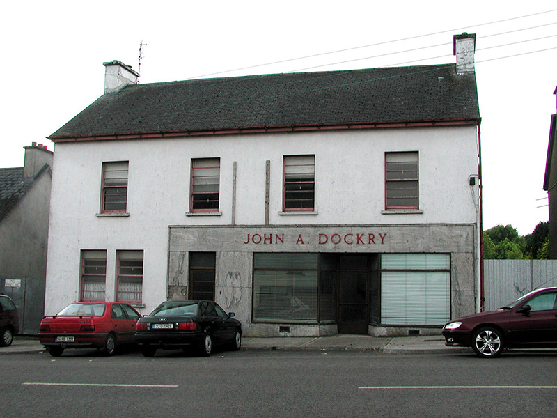 John A. DockryHouse · 1490 yd
Explorer Tom John A. Dockry is giving off serious mid-twentieth-century vibes with those weird horizontally split sash windows that…
 public house1507 yd
Explorer Tom Public house in Ballymote is secretly proud of its roadside petrol pumps, which are a rapidly disappearing feature that…
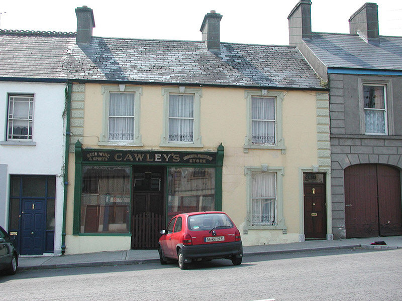 Cawley'sHouse · 1568 yd
Explorer Tom Cawley's in Ballymote in Ballymote, County Sligo is being judged by seagulls who say its moulded details are just a bit…
 Dwyer'sHouse · 1580 yd
Explorer Tom Dwyer’s in Ballymote would order a triple chipper with ketchup on top, then complain it wasn’t salty enough to match…
 Ballymote CastleCastle · 1635 yd
Explorer Tom Ballymote Castle has a grand outline and no central keep, which is enough to make me suspect the builders enjoyed…
 Castle (in Ruins)Castle, Anglo-Norman masonry castle · 1638 yd
Explorer Tom Castle in Carrownanty is an Anglo-Norman fortress that decided being destroyed was just a fancy way of saying 'closed…
 Fairy fort / earthen ringfort in Emlagh (corran By., Drumrat Ed)Fairy fort / earthen ringfort · 1645 yd
Explorer Tom This fairy fort in Emlagh nearly got famous once when a tourist fell asleep inside it, but nobody believed the story…
 St Columba's Carrownanty CemeteryCemetery · 1.1 mi
Explorer Tom St Columba's Carrownanty Cemetery is playing hard to get, hiding behind a wall that looks like it hasn't been fixed…
More archaeology and monuments in County Sligo · All of County Sligo

What do you know about this place?Tap to add a comment or ask a question