What is recorded here
Situated at the edge of a S-facing slope down to a W-E section of the SW-NE River Boyne, with the stream c. 100m to the S. A round-headed doorway (Wth 0.86m) on the S wall of St. Catherine's church (ME025-018001-) leads to a chamber (ext. dims 6.05m N-S; 4.72m E-W) with a N-S barrel-vault, which is a later addition to the church. The chamber has a light in the E wall and a blocked light on the S wall. A passage (L 1.9m; Wth 0.75m) in the floor leads underground from the N to a burial vault (int. dims 2.95m E-W; 2.8m N-S), which has a N-S barrel-vault.
Compiled by: Michael Moore
Date of upload: 27 June, 2014
The monument record does not grant public access. Check the route and ask the landowner before entering private land.
- What survives
- Recorded monument
Places near here
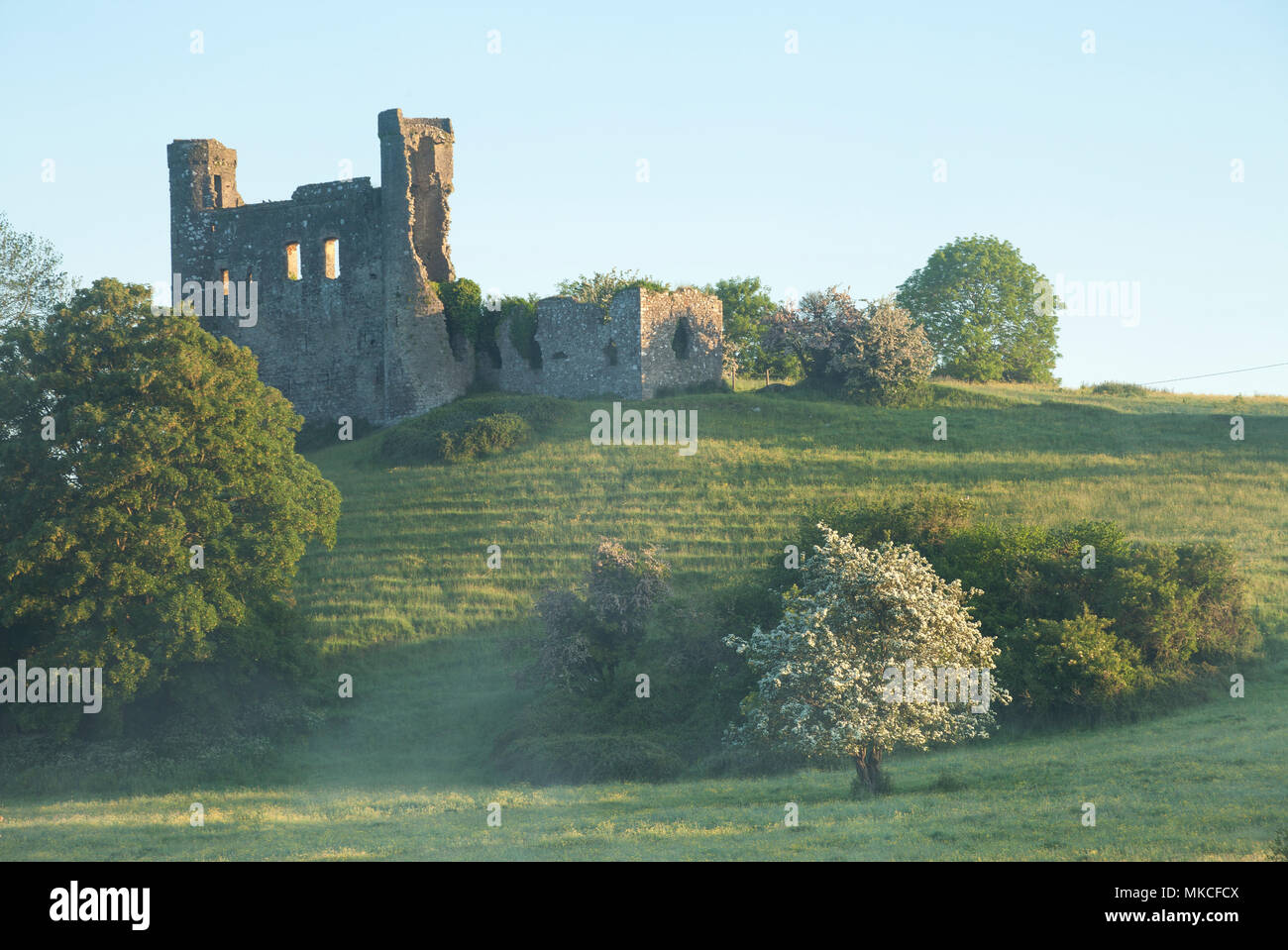
 Dunmoe CastleCastle, unclassified · 37 yd
 CastleCastle, motte · 758 yd
 Church (in Ruins)Church · 760 yd
 Enclosure in ArdmulchanEnclosure · 1000 yd
 Bridge in Ferganstown and BallymaconBridge · 1188 yd
 Rowley's WoodWood · 1317 yd
 Enclosure in DunmoeEnclosure · 1585 yd
 Blackcastle DemesneWood · 1.0 mi
 Donaghmore Round TowerHeritage attraction · 1.1 mi
 Carn HillMountain / peak · 1.7 mi
 Nangle CourtMemorial · 2.4 mi
 Mullagha HillMountain / peak · 4.0 mi