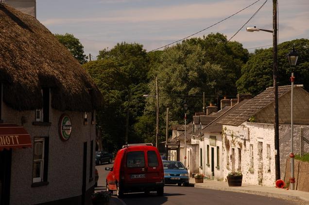
What is recorded here
The site of Duncormick castle (WX046-034001-) is situated on a rock outcrop promontory (dims 51m E-W; c. 38m N-S; H 4-6.5m) on the W side of the valley of a N-S stream, and in the centre of Duncormick village. There is a wide trench or fosse (Wth of top 13-15m; D 6-6.5m) on the S side of the promontory, which may be natural. It extends west as far as a N-S public road (L c. 100m). There is no evidence of an earthwork bank or fosse cutting off the promontory, although the promontory is partly occupied by a house.
Compiled by: Michael Moore
Date of upload: 19 August, 2103
A local fairy fort (ringfort/rath); wider significance not recorded.
The monument record does not grant public access. Check the route and ask the landowner before entering private land.
- What survives
- Recorded monument
Places near here
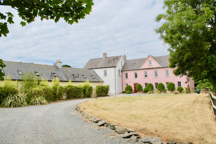 Castle (in ruins)Castle, tower house · 33 yd
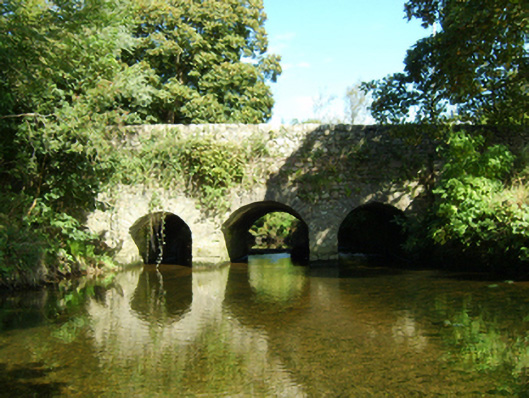 bridgebridge · 104 yd
 Grist MillRuins · 135 yd
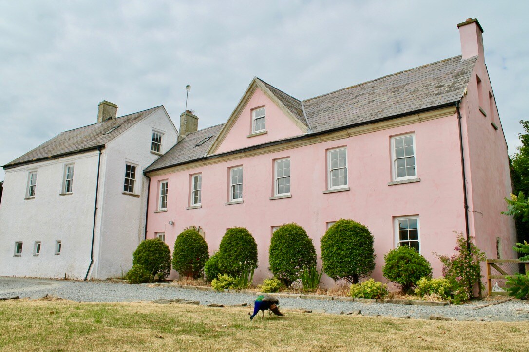 Embanked enclosureCastle, motte and bailey · 183 yd
 Field system in DuncormickField system · 247 yd
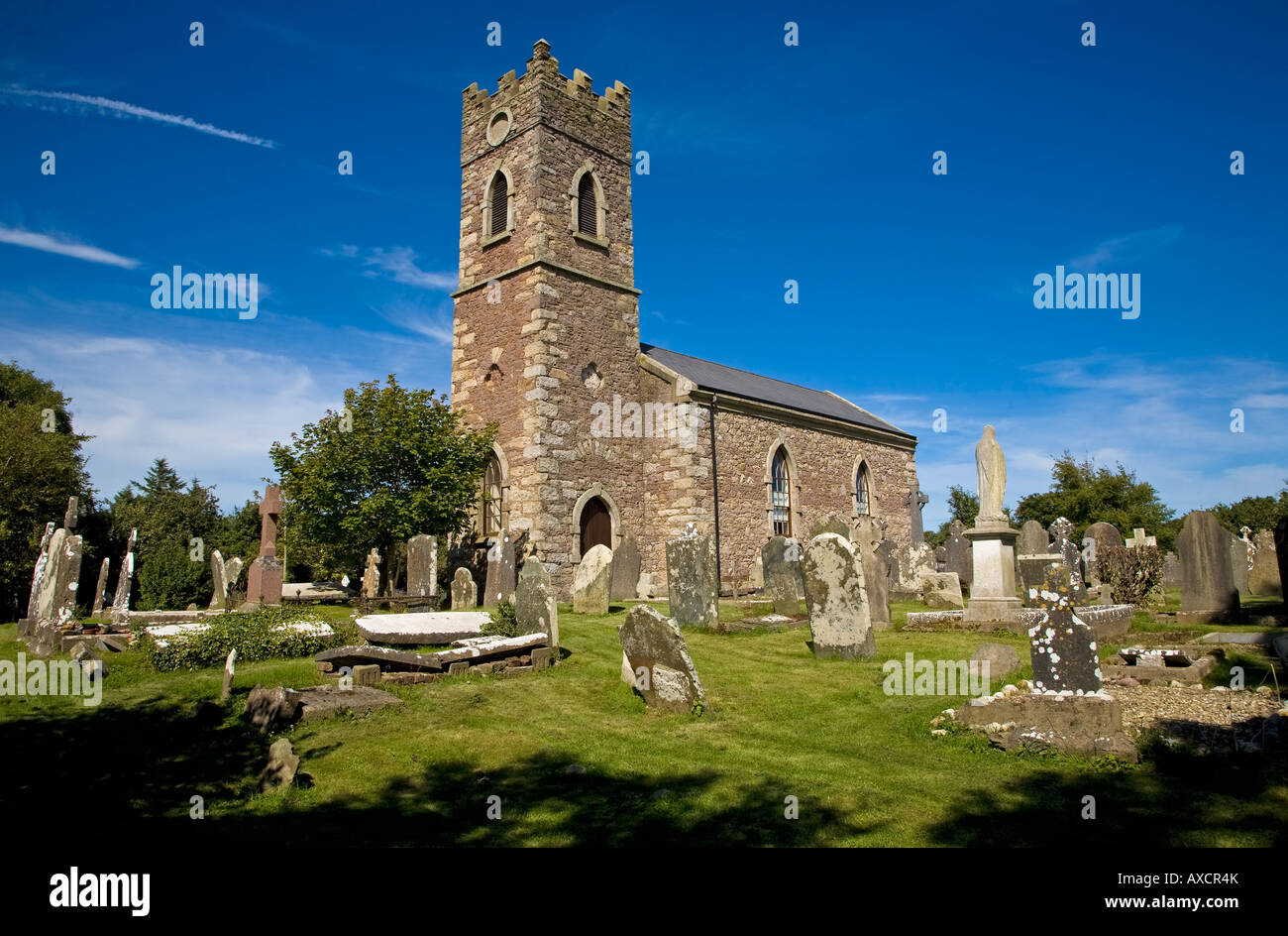 Ecclesiastical enclosure in DuncormickEcclesiastical enclosure · 326 yd
 Cull IslandIsland · 1.6 mi
 Ballyteigue BurrowNature reserve · 2.2 mi
 Cullenstown StrandBeach / strand · 2.8 mi
 Carrig-On-BannowVisitor information · 3.2 mi
 1798 MemorialMemorial · 3.2 mi
 Ballymadder PointHeadland · 3.6 mi
Other information
Photo: Credit not shown in the picture search · Rights wording not checked; contact us if this picture should be removed