
Places near here
Photo credits
- National Inventory of Architectural Heritage
- Oliver Dixon, Geograph · Creative Commons Attribution-ShareAlike 2.0
- Own work, Wikimedia Commons · CC BY-SA 3.0
- Marc Calhoun, Geograph · CC BY-SA 2.0
Explorer Tom Site of Redmond Barretts Castle in Torán, County Mayo is full of secrets that nobody wants to read. The stones are whispering about a family feud that ended in awkward silence. Give it a pat on the way past, it's had a long life.
Barranagh Castle in RuinsCastle, unclassified · 1.8 miOileán BearanachIslet · 2.1 mi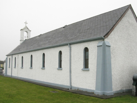 Catholic Church of Our Lady of LourdesChurch/chapel · 2.1 mi
Explorer Tom Catholic Church of Our Lady of Lourdes thinks Dublin tourists are all about the photos and none about the prayer, so it just sighs. It’s got that streamlined Romanesque look that makes it seem like it’s about to take off. Ideal for a moody moment with the clouds.
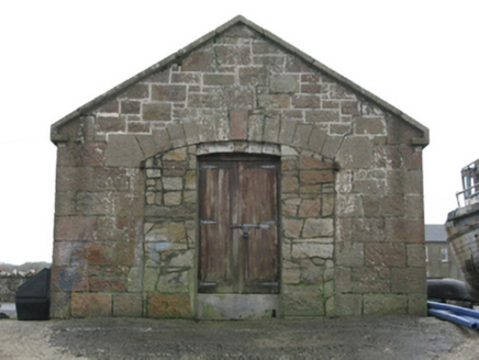 Blacksod Point Coastguard StationBoathouse · 3.2 mi
Explorer Tom Blacksod Point Coastguard Station is playing hard to get. A bishop supposedly refused to visit, but I suspect he just forgot his sunscreen. Make a wish before you drive past, it’s had centuries of practice.
 St. Deriblas WellHoly well · 3.5 mi
Explorer Tom St. Deriblas Well in An Fál Mór, County Mayo caused such an argument that three neighbours stopped speaking to each other for decades. It’s basically a puddle with a grudge and a very dramatic backstory attached to it. Make up your own legend and I'll swear it's true.
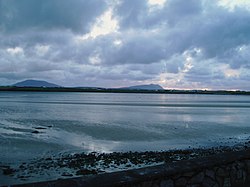 Cuan an Fhóid DuibhBay · 3.6 miLéim an ReitheIslet · 4.4 mi
 Inishglora Monastic SiteArchaeological place · 4.5 miGob an ChloiginnHeadland · 4.7 mi
More archaeology and monuments in County Mayo · All of County Mayo

What do you know about this place?Tap to add a comment or ask a question