What is recorded here
A small island (dims c. 15m N-S; c. 7m E-W) is depicted only on the 1945 revision of the OS 6-inch map in Drummeen Lough, a small oval lake (dims c. 120m N-S; c. 50m E-W) which is on a S-N tributary of the Cloone River. The lake is represented as larger (dims c. 280m N-S; c. 100m E-W) on the 1835 edition of the map, but it has now silted up and is covered in mixed woodland. No archaeological feature is visible at ground level in scrub.
The above description is derived from 'The Archaeological Inventory of County Leitrim' compiled by Michael J. Moore (Dublin: Stationery Office, 2003). In certain instances the entries have been revised and updated in the light of recent research.
Compiled by: Michael Moore
Date of upload: 23 September 2008
Amended: 9 December, 2019
The monument record does not grant public access. Check the route and ask the landowner before entering private land.
- What survives
- Recorded monument
Places near here
 IndicateedHoly well · 1402 yd
 IndicatedFairy fort / earthen ringfort · 1654 yd
 Sessile OakSessile Oak · 1.1 mi
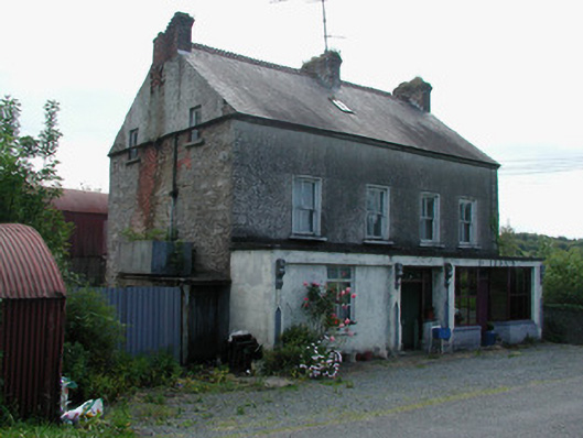 Dillon'shouse · 1.3 mi
 Giant's GraveArchaeological place · 1.4 mi
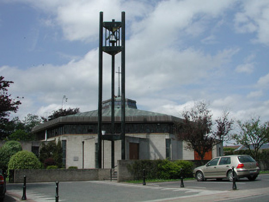 Saint Mary's Catholic Churchchurch/chapel · 1.8 mi
 Little IslandIslet · 2.2 mi
 Duck IslandIslet · 2.2 mi
 Turlough O'Carolan MonumentHeritage attraction · 2.3 mi
 Lawson's CypressLawson's Cypress · 2.6 mi
 CastleCastle, tower house · 2.8 mi
 OratoryCastle, tower house · 3.7 mi