
What is recorded here
Situated at the crest of the S-facing slope of a drumlin. This rath is indicated as a circular enclosure only on the 1835 edition of the OS 6-inch map. It is a grass-covered circular area (max. dims 44m N-S; 43m E-W) defined by a field bank NE-S-NW that forms the townland boundary with Gortnarah and by the overgrown remains of a low earthen bank at N. A large boulder (diam. c. 1.5m; H c. 1m), now at the NW end of the bank where it is displaced from the interior, is thought by some people locally to mark the birthplace of St. Barry of Termonbarry, Co. Roscommon. Others locate his birthplace more generally to an area within a coniferous wood c. 400m further N.
The above description is derived from 'The Archaeological Inventory of County Leitrim' compiled by Michael J. Moore (Dublin: Stationery Office, 2003). In certain instances the entries have been revised and updated in the light of recent research.
Date of upload: 23 September 2008
Amended: 12 March, 2014
The monument record does not grant public access. Check the route and ask the landowner before entering private land.
- What survives
- Recorded monument
Places near here
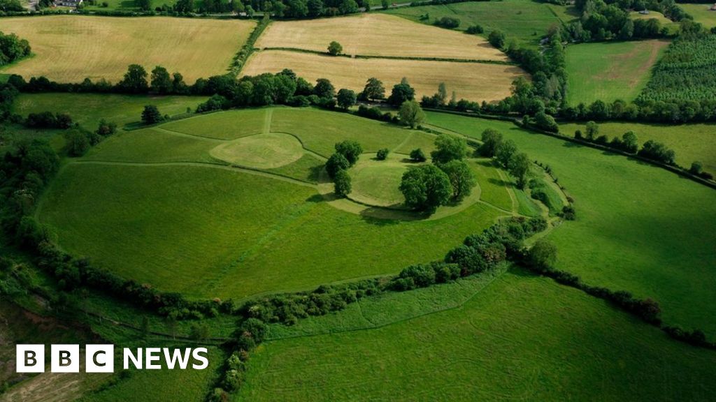 Sheean FortFairy fort / earthen ringfort · 1583 yd
 Sessile OakSessile Oak · 1.0 mi
 IndicateedHoly well · 1.1 mi
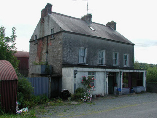 Dillon'shouse · 1.4 mi
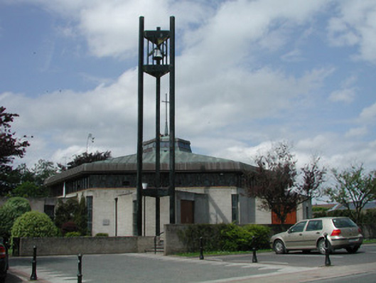 Saint Mary's Catholic Churchchurch/chapel · 1.5 mi
 Giant's GraveArchaeological place · 1.9 mi
 Turlough O'Carolan MonumentHeritage attraction · 2.1 mi
 Little IslandIslet · 2.7 mi
 Duck IslandIslet · 2.8 mi
 Lawson's CypressLawson's Cypress · 3.1 mi
 CastleCastle, tower house · 3.4 mi
 OratoryCastle, tower house · 4.5 mi
Other information
Photo: Credit not shown in the picture search · Rights wording not checked; contact us if this picture should be removed