
What is recorded here
From the National Monuments Service (Archaeological Survey of Ireland) record LE033-041
Places near here
Photo credits
- Maker not stated on source page, www.pinterest.com
- Maker not stated on source page, www.alamy.com
- Maker named on the Wikimedia Commons picture page · CC BY-SA 2.5
- Cloone GAA club website; individual photographer not stated, cloonegaa.net
- Maker not stated on source page, en.wikipedia.org
- Maker not stated on source page, storage.googleapis.com
- National Inventory of Architectural Heritage
- Maker not stated on source page, monumentalireland.ie
- Reading Tom, Wikimedia Commons · CC BY 2.0
- Maker not stated on source page, heritageireland.ie
 DolmenMegalithic tomb · 1054 yd
Explorer Tom Dolmen at Drumkeilvy is a rough chamber where a giant once sat and complained about his knees. The stones are…
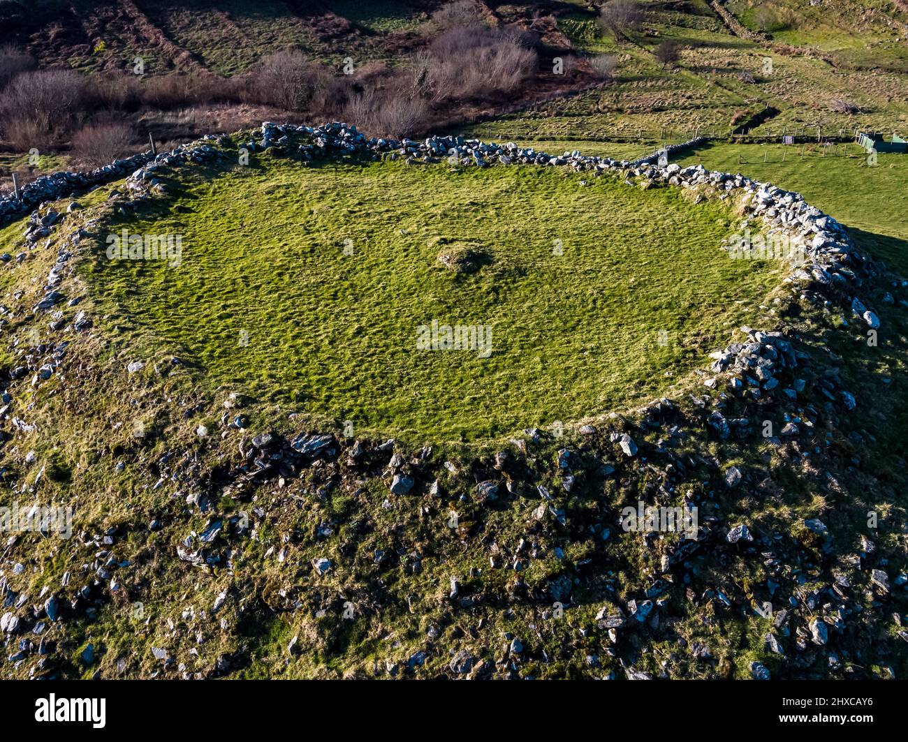 Fairy fort / earthen ringfort in Drumharkan GlebeFairy fort / earthen ringfort · 1344 yd
Explorer Tom Fairy fort / earthen ringfort in Drumharkan Glebe hosted a dance where the floor gave out and half the guests fell into…
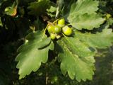 Sessile Oak1.1 mi
Explorer Tom Sessile Oak in County Leitrim remembers when a local priest lost a bet right under its branches. He owed a pint and…
 Cloone GAAGAA ground · 1.1 mi
 Standing stone in DrumconnyStanding stone · 1.2 mi
Explorer Tom Standing stone in Drumconny started from a bet two lads made in the pub. One said he could move it, the other said he…
 Fairy fort / earthen ringfort in TullyoranFairy fort / earthen ringfort · 1.3 mi
Explorer Tom Fairy fort / earthen ringfort in Tullyoran is fighting with the next village over who gets to claim the best view from…
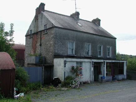 Dillon'sHouse · 1.3 mi
Explorer Tom Dillon’s in Esker is a house with a shop front because everyone needs somewhere to buy bread. The whole parish argued…
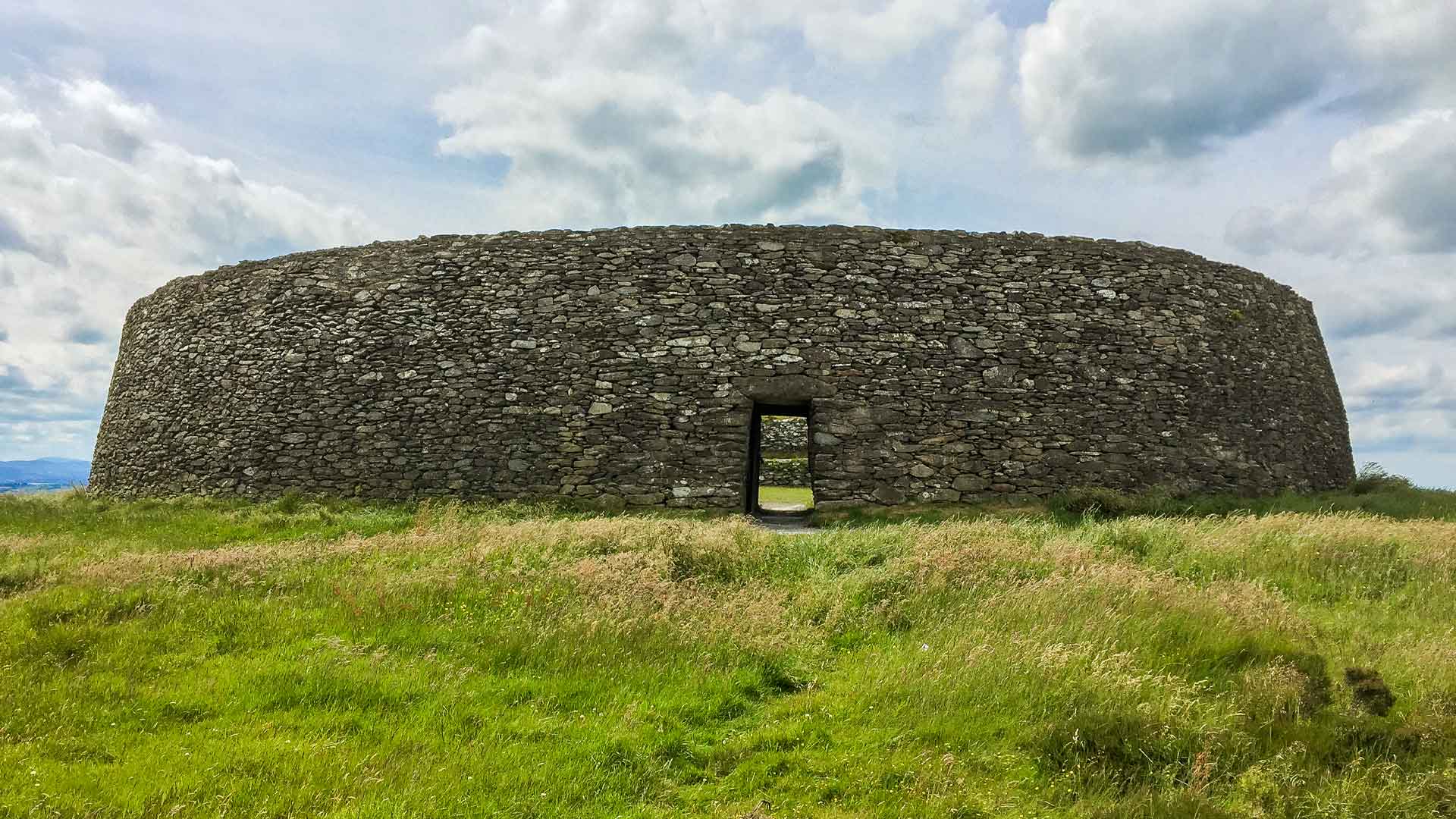 Fairy fort / earthen ringfort in Breanross NorthFairy fort / earthen ringfort · 1.5 mi
Explorer Tom Fairy fort / earthen ringfort in Breanross North hums 'You Are My Sunshine' all day long. It finds pop music too loud…
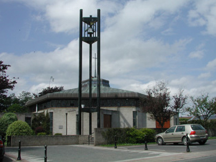 Saint Mary's Catholic ChurchChurch/chapel · 1.8 mi
Explorer Tom Saint Mary's Catholic Church in Cloone has an octagonal shape that makes other churches feel square, literally…
 Portal tomb in LearPortal tomb · 1.9 mi
Explorer Tom Portal tomb in Lear is stuck on a slope like a drunk at a party. One big stone sits on another, looking utterly…
 Cavan & Leitrim RailwayMuseum · 6.2 mi
Explorer Tom The Cavan and Leitrim Railway at Dromod has a small train with a big talent for making grown adults grin before it has…
 Aughry CastleHouse, fortified house · 6.7 mi
Explorer Tom Aughry Castle was built after two lads bet ten quid they could construct a fortress before their wives noticed they…
More archaeology and monuments in County Leitrim · All of County Leitrim

What do you know about this place?Tap to add a comment or ask a question