
What is recorded here
Indicated is a faded ringfort in County Cavan where a low earthen bank circles a thirty-three-metre grassy dish. It has no visible entrance, denies easy entry, and belongs more to imagination than history. People may have lived there, feared there or simply pointed at it when lost. The fort still points back.
Marked 'Fort' on OS 1836 eds. and known as such in the locality. Raised circular area (int. diam. c. 33m) enclosed by a low earthen bank which barely rises above the internal area, and vague traces of a fosse. Original entrance not recognisable.
The above description is derived from the published 'Archaeological Inventory of County Cavan' (Dublin: Stationery Office, 1995). In certain instances the entries have been revised and updated in the light of recent research.
Date of upload/revision: 22 December 2008
The monument record does not grant public access. Check the route and ask the landowner before entering private land.
- What survives
- Recorded monument
Places near here
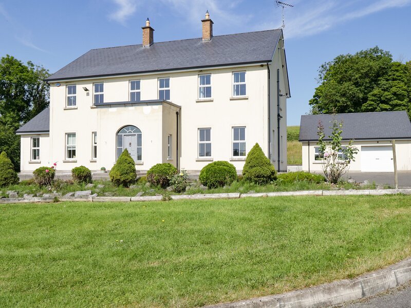 Rock WoodWood · 397 yd
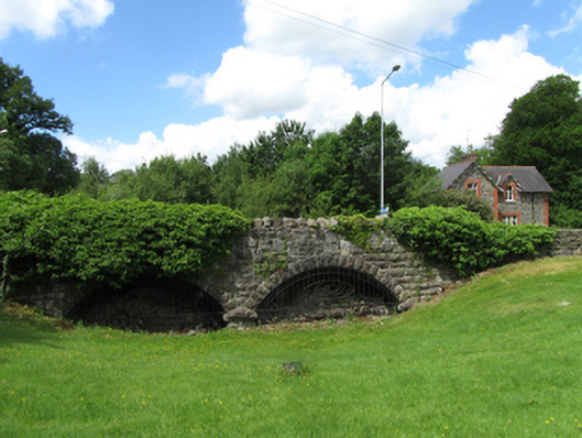 bridgebridge · 617 yd
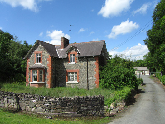 teacher's houseteacher's house · 618 yd
 Cloverhill DemesneForest · 897 yd
 Annagh Lough BeachBeach / strand · 1.2 mi
 Standing StoneArchaeological place · 1.6 mi
 DrumcalpinMountain / peak · 1.6 mi
 Friars Fort (Site of)Enclosure · 1.8 mi
 Bawn in KillyfanaBawn · 2.0 mi
 Giants GraveArchaeological place · 2.3 mi
 AshgroveMountain / peak · 2.5 mi
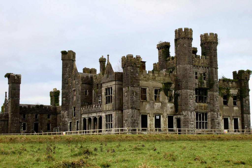 CastleCastle, unclassified · 2.7 mi
Other information
Photo: Credit not shown in the picture search · Rights wording not checked; contact us if this picture should be removed