
Places near here
Photo credits
- National Inventory of Architectural Heritage
- Willow, Wikimedia Commons · CC BY 2.5
- Kenneth Allen, Wikimedia Commons · CC BY-SA 2.0
- Andreas F. Borchert, Wikimedia Commons · CC BY-SA 3.0 de
- Raymond Okonski, Wikimedia Commons · CC BY-SA 2.0
- Brian Lenehan, Geograph · CC BY-SA 2.0
- Allie_Caulfield from Germany, Wikimedia Commons · CC BY 2.0
- Enda O Flaherty, Wikimedia Commons · CC BY-SA 2.0
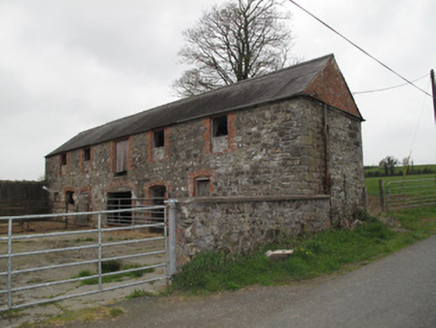 outbuilding477 yd
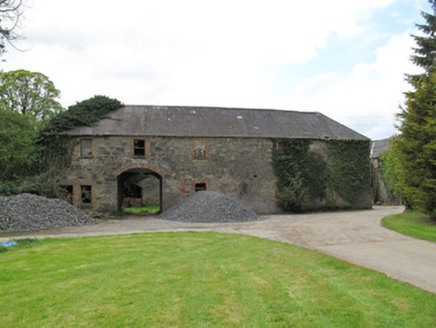 RaconnellOutbuilding · 558 yd
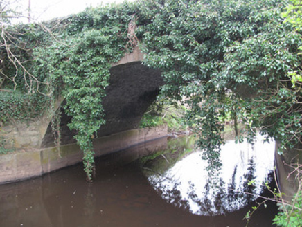 Raconnell BridgeBridge · 655 yd
Explorer Tom Raconnell Bridge looks modest but has an elegant single arch that was engineered by someone who really knew their stuff. The bargain that built it involved a lot of stone and very little money. Have a nosey, politely, please.
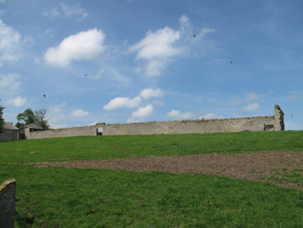 DrumreaskeWalled garden · 1539 yd
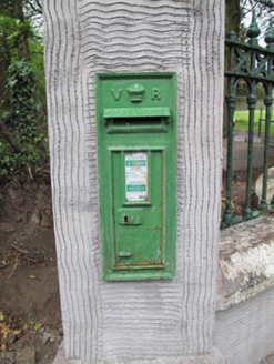 post box1750 yd
Explorer Tom Post box in Tullycroman would review its visitors as 'adequate but lacking in mail'. It’s just a little iron square that thinks it runs the whole postal service of the universe. Bring a notebook and a stamp.
 European ash1.3 mi
 Peter's LakePark · 1.9 mi
 Monaghan County MuseumMuseum · 1.9 mi
 Rossmore MonumentMemorial · 2.0 mi
 Old Cross SquareMonument · 2.1 mi
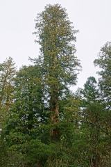 Coast Redwood2.3 mi
Explorer Tom Another Coast Redwood in Monaghan is currently judging every rabbit that passes by for wearing mismatched socks. It thinks they’re all fashion disasters. Bring a friend who talks too much and let the place shut them up.
 Giants GreveWedge tomb · 5.9 mi
Explorer Tom "Giants Greve is hiding a scandal about a stone that wasn’t invited to the party. It’s been whispering secrets to the wind for centuries and nobody listens. Snap one photo, then put the phone away and actually look."
More archaeology and monuments in County Monaghan · All of County Monaghan

What do you know about this place?Tap to add a comment or ask a question