What is recorded here
Unusually small enclosure known locally as a 'fort'. It comprises a raised circular area (int. diam. 18.4m NNW-SSE) enclosed by a low earthen bank and a narrow, partly waterlogged fosse, both of which appear to have been modified in relatively recent times. Original entrance not recognisable.
From the National Monuments Service (Archaeological Survey of Ireland) record CV025-038
The monument record does not grant public access. Check the route and ask the landowner before entering private land.
- What survives
- Recorded monument
Places near here
Ardkill MoreMountain / peak · 1460 ydDennmore or LeggandennMountain / peak · 1615 yd Denn ChurchChurch/chapel · 1.1 miCarricknagore RockNamed rock · 1.4 miGiant's GraveArchaeological place · 1.9 miBawn in MoynehallBawn · 2.7 mischool2.8 miPortal tomb in CarrickacroyPortal tomb · 4.3 miPortal tomb in DuffcastlePortal tomb · 4.4 miSycamore4.7 miCucumber Magnolia4.8 miRambling at Farnham EstateVisitor information · 5.6 mi
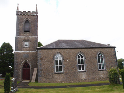 Denn ChurchChurch/chapel · 1.1 miCarricknagore RockNamed rock · 1.4 miGiant's GraveArchaeological place · 1.9 miBawn in MoynehallBawn · 2.7 mi
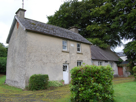 school2.8 mi
 Portal tomb in CarrickacroyPortal tomb · 4.3 mi
 Portal tomb in DuffcastlePortal tomb · 4.4 mi
 Sycamore4.7 mi
 Cucumber Magnolia4.8 mi
 Rambling at Farnham EstateVisitor information · 5.6 mi
Pictures: National Inventory of Architectural Heritage; Wanfried-Dublin, Wikimedia Commons · CC BY-SA 4.0; Christian Pirkl, Wikimedia Commons · CC BY-SA 3.0 at; Bruce Marlin, Wikimedia Commons · CC BY 3.0; Peter Gerken, Geograph · CC BY-SA 2.0
More archaeology and monuments in County Cavan · All of County Cavan
What do you know about this place?