
What is recorded here
Calluragh Burial Ground: This site is located in poor land on the W bank of the Cummeragh river, a short distance above its entry into Lough Currane. It consists of a heavily overgrown enclosure containing a cross-inscribed ogham stone and numerous uninscribed grave-markers. Of approximately circular plan, the…
Read the whole record
From the National Monuments Service (Archaeological Survey of Ireland) record KE098-021003
Places near here
Photo credits
- Maker not stated on source page, ie.pinterest.com
- Maker not stated on source page, www.flickr.com
- Maker not stated on source page, commons.wikimedia.org
- Maker not stated on source page, www.letsgoireland.com
- Maker not stated on source page, www.pinterest.com
- Maker not stated on source page, www.airbnb.co.in
- Maker not stated on source page, en.wikipedia.org
- Maker not stated on source page, www.tripadvisor.com.sg
- Maker not stated on source page, www.tripadvisor.com.ph
- Maker not stated on source page, uk.pinterest.com
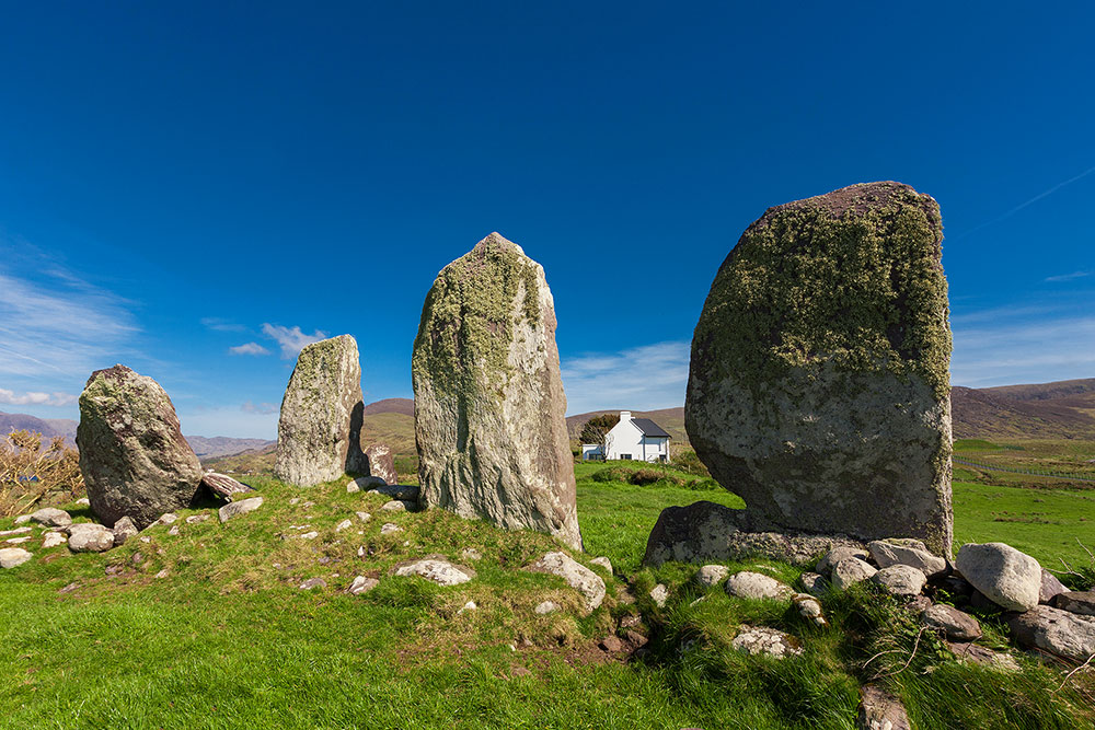
 Stone row in DromkeareStone row · 504 yd
Explorer Tom Stone row in Dromkeare is stuck in a feud between two families over who owns the best view of the lake. Four stones…
 Fairy fort / earthen ringfort in LislonaneFairy fort / earthen ringfort · 950 yd
Explorer Tom Lislonane sits right on the river’s edge, where a poet once fell in the ditch and missed his verse deadline. The bank…
 Stone circleStone circle, multiple-stone · 1010 yd
Explorer Tom Stone circle in An Dromaid has five stones pretending to be a full committee meeting. If it had to teach history, it…
 Standing stone in An DromaidStanding stone · 1017 yd
Explorer Tom Standing stone in An Dromaid is a rock built into a wall because it wanted to be part of the team. It’s proud that it’s…
 Fairy fort / earthen ringfort in CooryvanaheenFairy fort / earthen ringfort · 1449 yd
Explorer Tom Fairy fort / earthen ringfort in Cooryvanaheen was levelled by someone who clearly didn't appreciate its potential…
 Standing stone in Cathair SamháinStanding stone · 1.2 mi
Explorer Tom Standing stone in Cathair Samháin has been hiding a scandal for centuries, probably about who moved it. It’s low…
 Causeway in Church Island (iveragh By., Loughcurrane Ed)Causeway · 1.2 mi
Explorer Tom Causeway in Church Island meanders around the shore like a very confused tourist trying to find the toilet. It starts…
 Leacht in Church Island (iveragh By., Loughcurrane Ed)Leacht · 1.2 mi
Explorer Tom Leacht in Church Island has an opinionated stone slab at its corner, probably judging your posture. The local sheep…
 Pillar stone in Church Island (iveragh By., Loughcurrane Ed)Pillar stone · 1.2 mi
Explorer Tom Pillar stone in Church Island is the kind of rock that smuggled contraband whiskey back in the day by hiding it inside…
 Architectural fragment in Church Island (iveragh By., Loughcurrane Ed)Architectural fragment · 1.2 mi
Explorer Tom Architectural fragment in Church Island is a stone with a hollow, supposedly for shortcuts that don't exist. It’s just…
 Burial GroundGraveyard · 1.2 mi
Explorer Tom Burial Ground on Church Island in County Kerry has picked 'Dancing Queen' as its anthem because it thinks it’s still…
 Cross in Church Island (iveragh By., Loughcurrane Ed)Cross · 1.2 mi
Explorer Tom Cross in Church Island claims a dragon once sneezed on it, but I think it was just bad weather. It’s tiny, proud, and…
More archaeology and monuments in County Kerry · All of County Kerry

What do you know about this place?Tap to add a comment or ask a question