What is recorded here
In pasture, on the crest of a low E-W ridge overlooking the valley of the Roughty River to the S. A raised circular area (diam. c. 25m) defined by a low earthen bank (Wth 1.9m; int. H 0.2m; ext. H 1.25m) SSW-S and by a scarp S-SSW. Drystone facing evident on the external face of the bank N-W appears to be recent. An external fosse (Wth 1.1m; D 0.2m) is evident W-NE. There is a possible entrance (Wth 2m) at E. The interior is densely covered with overgrowth. The E arc of the bank, where it is skirted by a N-S road, is also densely covered with overgrowth. Field boundaries abut the rath at N and S.
The above description is derived from the published 'Archaeological Inventory of County Kerry. Volume I: South-West Kerry' (Dublin: Stationery Office, 2009). In certain instances the entries have been revised and updated in the light of recent research.
Date of upload: 30 May 2011
The monument record does not grant public access. Check the route and ask the landowner before entering private land.
- What survives
- Recorded monument
Places near here
 Shanagarry Castle (Site of)Castle, unclassified · 1011 yd
 R.C. Chapel (Site of)Church · 1117 yd
 SheepfoldEnclosure · 1315 yd
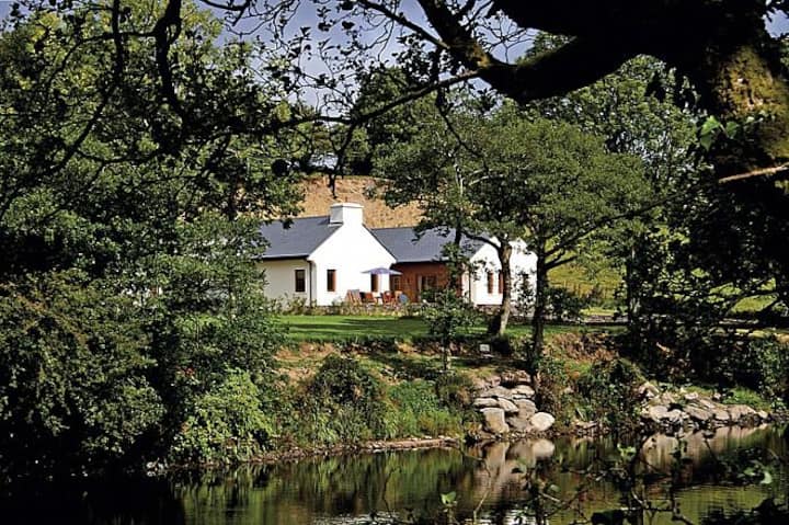 Roughty LodgeCountry house · 1599 yd
 Roughty BrBridge · 1606 yd
 CastleCastle, unclassified · 1.3 mi
 StrickeenMountain / peak · 1.6 mi
 The Lodge WoodWood · 1.9 mi
 Monterey PineMonterey Pine · 2.0 mi
 Mill Cove Gallery / John Brennan StudioGallery · 2.0 mi
 Kenmare Heritage Town - Main StreetMemorial · 2.1 mi
 Kenmare Tourist Information OfficeVisitor information · 2.1 mi