
What is recorded here
Humpback road bridge (Wth 4.9m; long axis E-W) spanning the Roughty River. Two segmental arches (spans 16m) with large undressed voussoirs, of limestone and sandstone, which project irregularly at varying intervals from the arch face on the S side and less so on the N side. On the S side a rounded cutwater, the basal stones of which are dressed and shaped, rises to below the base of the parapet wall where it supports a triangular refuge niche (Wth 5m; D 1.15m). The parapets oversail the body of the bridge and contain a number of lintelled water outlets. Vertical stone coping on parapets. The approach road from the W has been widened to form a layby and the W ends of the parapets have been splayed to accommodate this.
Compiled by: Elizabeth Byrne, Ursula Egan and Sheila Ronan, Archaeological Survey Unit, University College, Cork.
Date of upload: 30 May 2011
The monument record does not grant public access. Check the route and ask the landowner before entering private land.
- What survives
- Recorded monument
Places near here
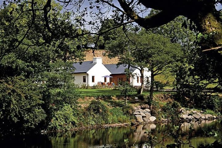 Roughty LodgeCountry house · 194 yd
 SheepfoldEnclosure · 383 yd
 CastleCastle, unclassified · 605 yd
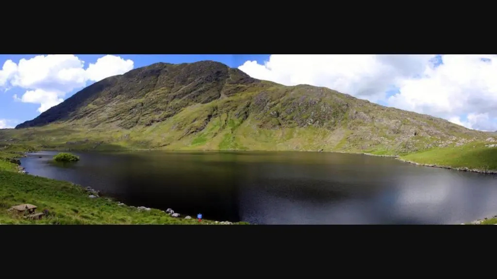 White Ho. (in Ruins)House, 16th/17th century · 700 yd
 R.C. Chapel (Site of)Church · 1207 yd
 Shanagarry Castle (Site of)Castle, unclassified · 1529 yd
 Monterey PineMonterey Pine · 1.4 mi
 The Lodge WoodWood · 1.4 mi
 Mill Cove Gallery / John Brennan StudioGallery · 1.5 mi
 Kenmare Heritage Town - Main StreetMemorial · 1.6 mi
 Cleo GalleryGallery · 1.6 mi
 Kenmare Tourist Information OfficeVisitor information · 1.6 mi
Other information
Photo: Credit not shown in the picture search · Rights wording not checked; contact us if this picture should be removed