
What is recorded here
Indicated is a vanished fairy fort in County Cork, Ireland, where a sugarbeet factory now stands. Maps from 1842 to 1936 marked its fence line, but settlement lagoons have drowned the earthworks. The fort may have measured sixty metres across, yet no stone or soil remains visible. What is left is a ghost shape under industrial water, remembered only through old survey marks and aerial shadows.
In grounds of sugarbeet factory. Indicated as arc of field fence (S->NNW) on 1842, 1905 and 1936 OS 6-inch maps; field fence (E-W) crosses site just N of centre. Aerial photograph (CUCAP, ATD85, July 1967), shows arc of field fence, possibly remains of bank, and cropmark of fosse (NNW->SSE) which appears to be external to projected line of bank. Faint arc of non-concentric inner fosse roughly E->S. Possibly remains of ringfort (diam c. 60m). No visible surface trace; area now covered by settlement lagoons.
The above description is derived from the published 'Archaeological Inventory of County Cork. Volume 4: North Cork' (Dublin: Stationery Office, 2000). In certain instances the entries have been revised and updated in the light of recent research.
Date of upload/revision: 14 January 2009
The monument record does not grant public access. Check the route and ask the landowner before entering private land.
- What survives
- Recorded monument
Places near here
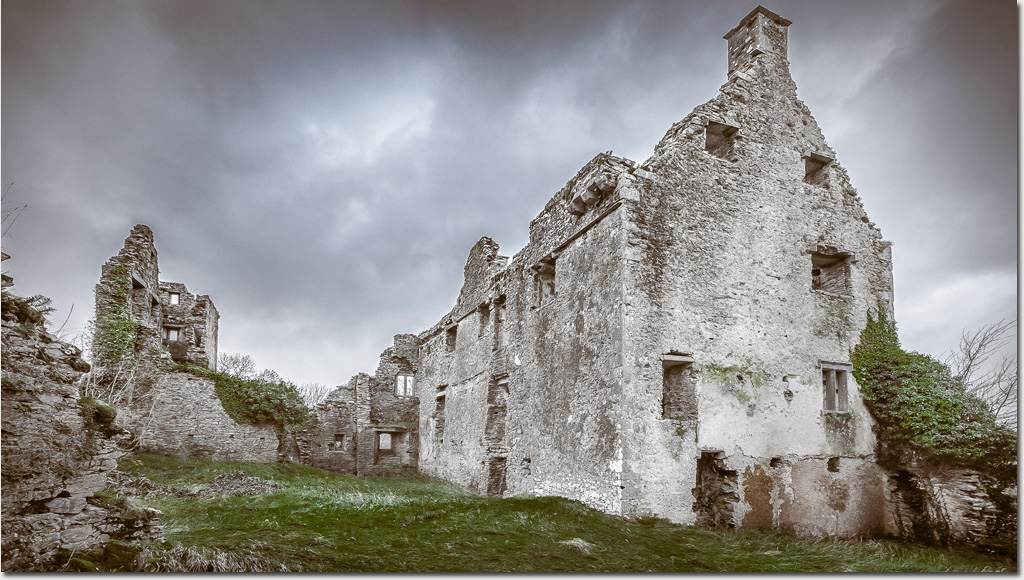 Enclosure in DromaneenEnclosure · 400 yd
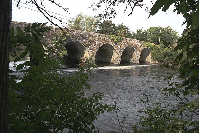 Longfield's Bridgebridge · 778 yd
 SummervilleSummervillehouse · 876 yd
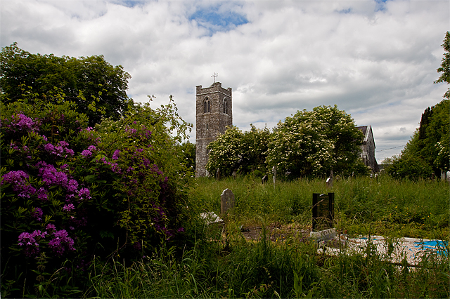 Grave YdGraveyard · 938 yd
 Dromaneen CastleHeritage attraction · 971 yd
 In loving memory of Elvis O'DonoghueMemorial · 2.6 mi
 Mallow Castle RuinRuins · 3.3 mi
 Castle (Remains of)Castle, unclassified · 3.4 mi
 Graveyard in Ballygiblin (duhallow By.)Graveyard · 4.8 mi
 Mount HillaryMountain / peak · 5.4 mi
 Mount Hillary - Knightfield LoopWalking route · 5.7 mi
 Mount Hillary - Mount Hillary LoopWalking route · 5.9 mi
Other information
Photo: Credit not shown in the picture search · Rights wording not checked; contact us if this picture should be removed