What is recorded here
Surrounded on three sides by streams. Indicated on the 1st (1839) ed. OS 6-inch map as a roughly lozenge-shaped area (dims. c. 48m NNE-SSW; c. 55m NW-SE) with five concentric circles within the interior, the inner circle being N of centre of the lozenge and the outer three circles are only represented by arcs, as…
Read the whole record
Surrounded on three sides by streams. Indicated on the 1st (1839) ed. OS 6-inch map as a roughly lozenge-shaped area (dims. c. 48m NNE-SSW; c. 55m NW-SE) with five concentric circles within the interior, the inner circle being N of centre of the lozenge and the outer three circles are only represented by arcs, as their radius would have extended beyond the boundary of the lozenge-shaped enclosure. The circles indicated diameters of c. 12m, 25m, 40m and the arc of the outer circles, if complete, would give diameters of c. 50m, 70m and 90m. There is no large house nearby and it is not part of a demesne. On the 1st ed. two NE-SE flowing streams are indicated, one c. 40m W of the monument and the other c. 60m to the E, with a third stream flowing NW-SE c. 10m to the S. The W stream forks to flow into the SE side of the lozenge-shaped enclosure and another stream flows along the SW side, appearing to form a waterlogged fosse. On satellite imagery it is evident that the monument has been levelled, with only the SW edge being retained as part of a field boundary. Given its association with water and its suggested morphology on the 1st ed. map, this may be some form of barrow, which was partially enclosed within the lozenge-shaped area at a later stage. Though even this latter feature was regarded as being of some antiquity by the OS surveyors as it is hachured.
From the National Monuments Service (Archaeological Survey of Ireland) record KK018-024
Places near here
Photo credits
- National Inventory of Architectural Heritage
- kevin higgins, Geograph · CC BY-SA 2.0
- kevin higgins, Wikimedia Commons · CC BY-SA 2.0
- A.-K. D., Wikimedia Commons · CC BY-SA 4.0
- Antiqueight, Wikimedia Commons · CC BY-SA 4.0
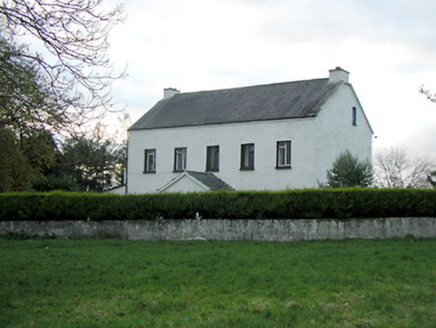 Mountgale HouseFarm house · 762 yd
 Bawn in BoolysheaBawn · 1519 yd
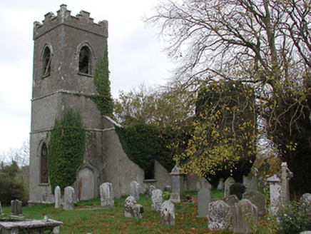 Ballinamara ChurchChurch/chapel · 1.9 mi
 Castle (in Ruins)Castle, tower house · 2.7 mi
 Grave YardGraveyard · 2.8 mi
 Ballykeeffe Mass RockNamed rock · 3.3 mi
 Saint Brigid's WellSpring · 3.5 mi
 Millennium WoodWood · 3.5 mi
 Ballykeefe WoodForest · 3.6 mi
 Holy well in Castleinch or InchyolaghanHoly well · 3.9 mi
 Graveyard in ThreecastlesGraveyard · 4.0 mi
 Emma Jane Browne-ClaytonMemorial · 5.0 mi
More archaeology and monuments in County Kilkenny · All of County Kilkenny
What do you know about this place?Tap to add a comment or ask a question