What is recorded here
On the S shore of the Callow Lough of Lough Gara. Overgrown oval island (dims. 38m N-S; 22m E-W; H up to 3m) of earth with stone and bones visible on the N side. There was one vertical plank at the E side. (Fredengren 2002, App. 1, P 62; Kiln 017)
Compiled by: Michael Moore
Date of upload: 24 August 2010
The monument record does not grant public access. Check the route and ask the landowner before entering private land.
- What survives
- Recorded monument
Places near here
 Bawn IslandIslet · 7 yd
 CastleBawn · 277 yd
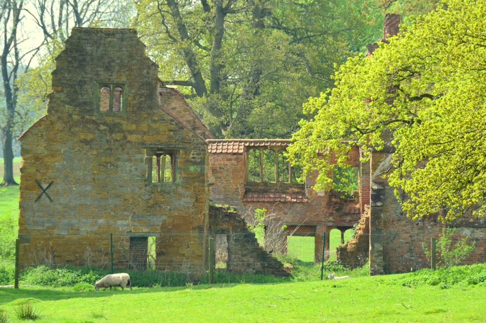 Enclosure in DowerEnclosure · 390 yd
 Corn Kiln (1838).Kiln, corn-drying · 1081 yd
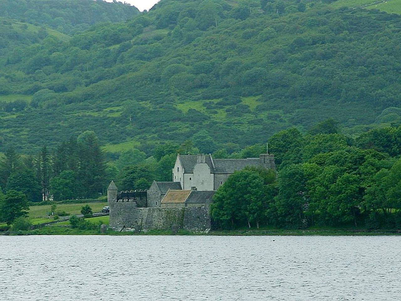 IndicatedCrannog · 1082 yd
 AltarPenitential station · 1137 yd
 Rose PointHeadland · 1.6 mi
 Square WoodForest · 2.2 mi
 Castle (in Ruins)Castle, unclassified · 2.3 mi
 Castle PointHeadland · 2.4 mi
 Gray's WoodForest · 2.4 mi
 Inch IslandIslet · 2.6 mi