
What is recorded here
On level ground in the farmyard of Dowdstown House stud. In the mid-1980's, a circular area (diam. c. 30m) was recorded as being defined by an almost imperceptible fosse SW-N-E which was recut as a drain E-S-SW, and was interpreted as a landscape feature which possibly incorporated a pre-existing enclosure or ringfort (SMR file). The dry, recut drain survives (Wth 2.8m; D 1.6m) E-S-SW and partially encloses a small paddock, but there is no obvious visible surface trace of the rest of the site.
Compiled by: Gearóid Conroy
Date of upload: 10 June 2011
A local fairy fort (ringfort/rath); wider significance not recorded.
The monument record does not grant public access. Check the route and ask the landowner before entering private land.
- What survives
- Recorded monument
Places near here
 Andrew FayMemorial · 262 yd
 Joseph McCormackMemorial · 633 yd
 Church (in Ruins)Church · 1510 yd
 Round TowerRound tower · 1522 yd
 Griffin RathFairy fort / earthen ringfort · 1658 yd
 Maguire's WoodWood · 1.1 mi
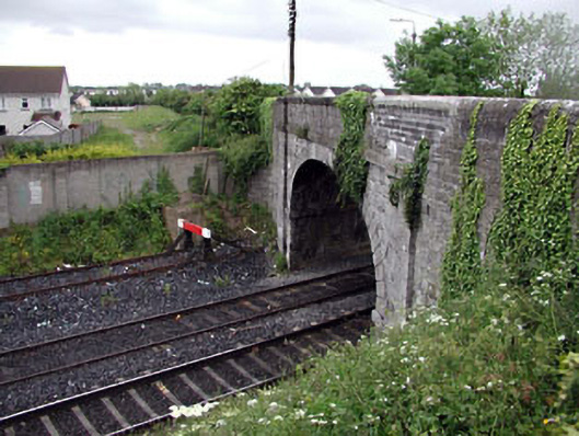 bridgebridge · 1.1 mi
 Cocked Hat WoodWood · 1.1 mi
 National Science MuseumMuseum · 1.3 mi
 Russell LibraryHeritage attraction · 1.3 mi
 CastleCastle, unclassified · 1.7 mi
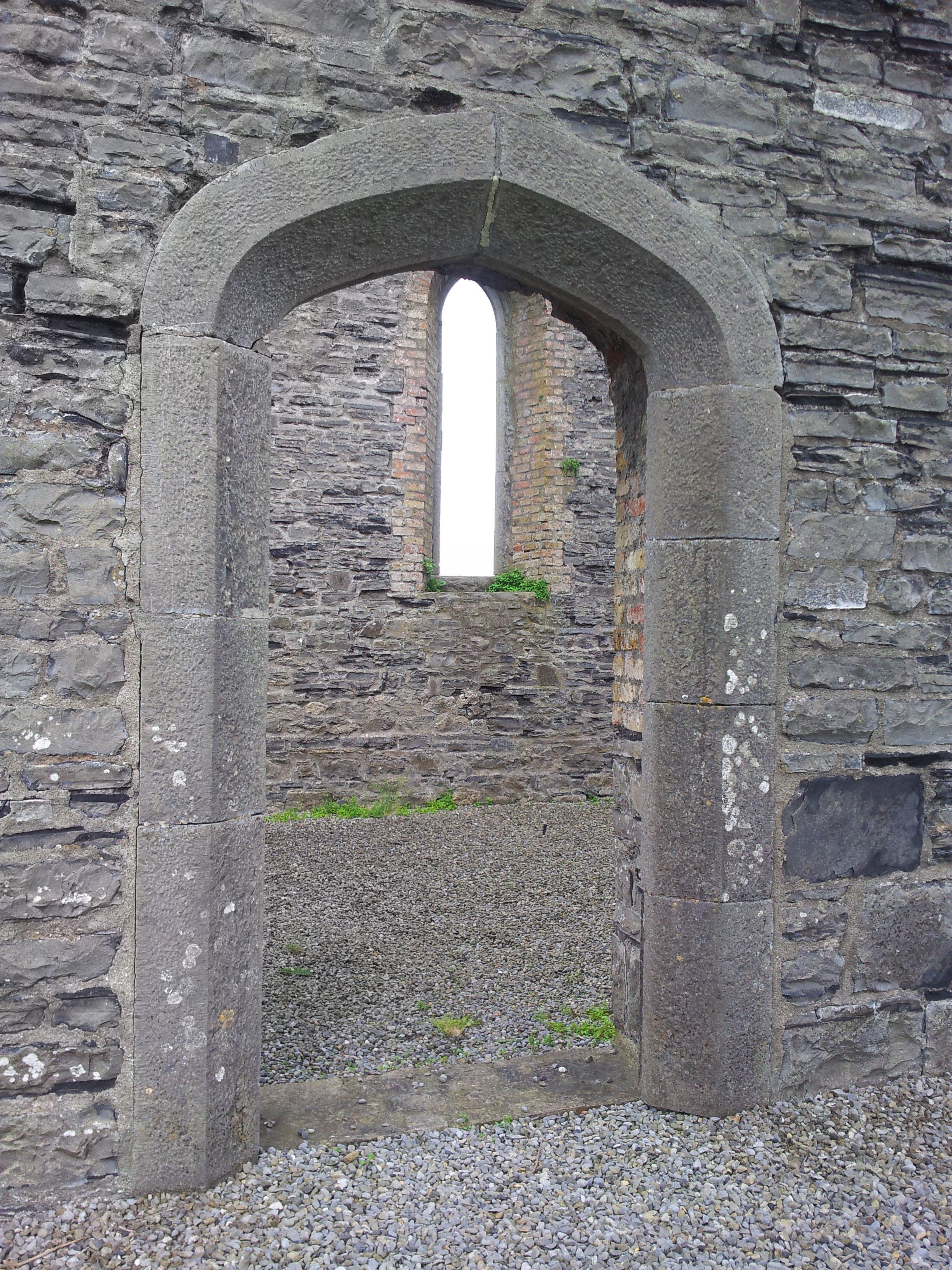 Enclosure in TaghadoeEnclosure · 1.0 mi
Other information
Photo: Credit not shown in the picture search · Rights wording not checked; contact us if this picture should be removed