
What is recorded here
At the crest of the N-facing slope of an E-W ridge. D-shaped grass-covered area (int. dims 22.8m WNW-ESE; 21.7m NNE-SSW) defined by a grass-covered stone spread (Wth 2-4.7m; int. H 0.1-0.5m; ext. H 0.6-0.8m) NE-NW with internal and external facing stones (at W: original Wth 3m). It is built on a scarp (H 0.5m at E) and backs onto an E-W scarp (H 2m) at N where there is no perimeter and which may have truncated the monument.
Compiled by: Michael Moore
Date of upload: 24 August 2010
The monument record does not grant public access. Check the route and ask the landowner before entering private land.
- What survives
- Recorded monument
Places near here
 Megalithic structure in BallyformoyleMegalithic structure · 1129 yd
 Not indciatedEnclosure · 1686 yd
 Quarry in BallyformoyleQuarry · 1.6 mi
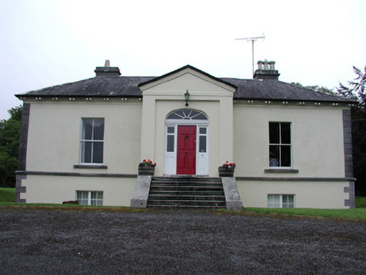 Riversdale Housecountry house · 2.1 mi
 Derreenargan WoodWood · 2.4 mi
 Turlough O'CarolanMemorial · 2.7 mi
 InishnagonIsland · 2.7 mi
 Knockranny WoodsForest · 2.7 mi
 Loughend IslandIsland · 3.0 mi
 Battle of Áth an Chipbattle · 3.1 mi
 Longford HillMountain / peak · 3.7 mi
 Sit of Breifny CastleCastle, tower house · 3.7 mi
Other information
Photo: Credit not shown in the picture search · Rights wording not checked; contact us if this picture should be removed