
What is recorded here
Located towards the bottom of a S and E-facing slope. In the Ballagh river valley. Towards the bottom of an E-facing slope in the Ballagh river valley. Known as 'Tober Molaise' and described as a holy well dedicated to St Molaise of Devinsish, Co. Fermanagh, where cures were performed and pilgrims left a cairn of…
Read the whole record
From the National Monuments Service (Archaeological Survey of Ireland) record LE005-017
Places near here
Photo credits
- Maker not stated on source page, au.pinterest.com
- Maker not stated on source page, curiousireland.ie
- Maker not stated on source page, www.ireland.com
- National Inventory of Architectural Heritage
- Maker not stated on source page, www.pinterest.com
- Maker not stated on source page, www.echolive.ie
- Maker not stated on source page, tr.pinterest.com
- Maker not stated on source page, www.flickr.com
- Richard Webb, Geograph · CC BY-SA 2.0
 Graveyard in DerrynahimmirkGraveyard · 26 yd
Explorer Tom Graveyard in Derrynahimmirk has a fairy dispute over parking rights that has lasted for two hundred years. The grave…
 Standing stone in LisdarushStanding stone · 1226 yd
Explorer Tom Standing stone in Lisdarush handles nosey neighbours by just standing very still and looking unimpressed. It’s probably…
 Glenaniff WaterfallPicnic place · 1401 yd
Explorer Tom Glenaniff Waterfall in County Leitrim holds a fake world record for being the most damp place in a ten-mile radius…
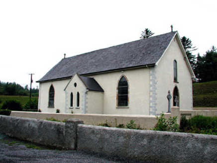 Saint Aidan's Catholic ChurchChurch/chapel · 1409 yd
Explorer Tom Saint Aidan's Catholic Church has an altar on the south end, which is weird enough to make you check your compass…
 Fairy fort / ringfort in GubnageerFairy fort / ringfort · 1491 yd
Explorer Tom Fairy fort / ringfort in Gubnageer guards a hidden treasure that is definitely a biscuit tin. It’s not visible, which…
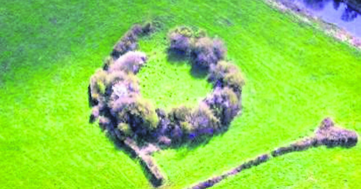 Fairy fort / earthen ringfort in LisdarushFairy fort / earthen ringfort · 1499 yd
Explorer Tom This fairy fort in Lisdarush hears every whisper from the field bank that slices right through its middle. It probably…
 Court tomb in Tullyskeherny (rosclogher By.)Court tomb · 1.0 mi
Explorer Tom Court tomb in Tullyskeherny has had so many names it’s lost track of its own identity. It’s hiding in a coniferous…
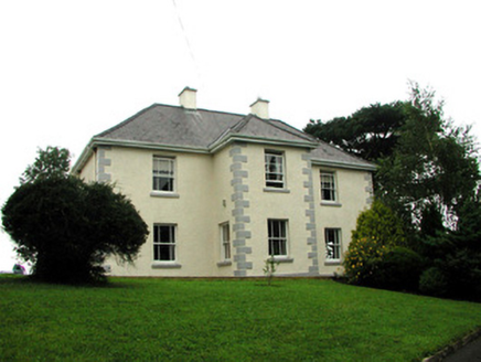 presbytery/parochial/curate's house1.2 mi
Explorer Tom Presbytery in Sraud Conolly is the biggest house in town because priests need space for smuggling whiskey. Rumor has it…
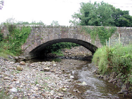 bridge1.2 mi
Explorer Tom Bridge in Conray is the world's most confident shortcut that isn't one at all. Those sandstone blocks look like they're…
 Fairy fort / earthen ringfort in AghnahahaFairy fort / earthen ringfort · 1.3 mi
Explorer Tom Fairy fort / earthen ringfort in Aghnahaha is sitting in Glenaniff valley looking like it has an imaginary twin across…
 Saddle HillMountain / peak · 1.5 mi
Explorer Tom Saddle Hill is where a fiddler played all night until his fingers turned to stone and he became part of the landscape.…
 Rossinver CemeteryCemetery · 1.8 mi
Explorer Tom Rossinver Cemetery says the Vikings got lost looking for it and ended up camping in the wrong field entirely, which was…
More archaeology and monuments in County Leitrim · All of County Leitrim

What do you know about this place?Tap to add a comment or ask a question