What is recorded here
Gubnageer hides a rectangular fort roughly thirty-five metres long, buried beneath reclaimed pasture and erased from modern sight. Men measured its ghost on paper in 1835, drawing a boundary that no longer answers to touch. The earth swallowed the stone, yet the shape remained strong enough to force human hands across the field, marking what vanished but never left.
In an undulating landscape of reclaimed pasture. Indicated as a rectangular enclosure (dims c. 35m NW-SE; c. 30m NE-SW) described as a ‘Fort’ on the 1835 ed. of the OS 6-inch map and as a D-shaped enclosure (diam. c. 30m) on the 1910 ed. It is not visible at ground level.
The above description is derived from 'The Archaeological Inventory of County Leitrim' compiled by Michael J. Moore (Dublin: Stationery Office, 2003). In certain instances the entries have been revised and updated in the light of recent research.
Date of revision: 7 January 2016
The monument record does not grant public access. Check the route and ask the landowner before entering private land.
- What survives
- Recorded monument
Places near here
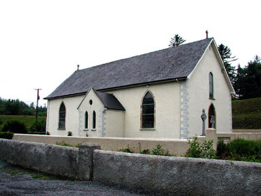 Saint Aidan's Catholic Churchchurch/chapel · 288 yd
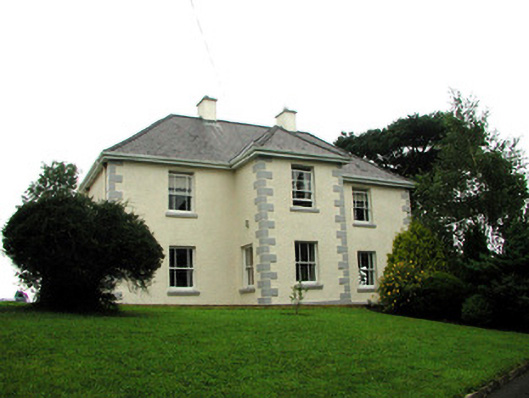 presbytery/parochial/curate's housepresbytery/parochial/curate's house · 579 yd
 IndicatedFairy fort / stone ringfort · 996 yd
 Mass-rock in DerrynahimmirkMass-rock · 1243 yd
 Fowley's FallsPicnic place · 1526 yd
 Giant's GraveArchaeological place · 1.3 mi
 Ross PointHeadland · 1.5 mi
 Saddle HillMountain / peak · 2.3 mi
 Sally IslandIslet · 3.0 mi
 Bilberry IslandIslet · 3.1 mi
 Dough MountainMountain / peak · 3.7 mi
 Kilroosk RockNamed rock · 3.8 mi