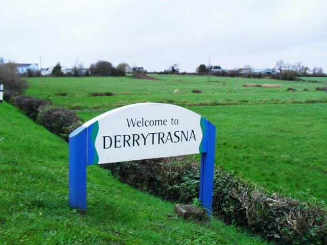
What is recorded here
Situated in a low-lying landscape with rock outcrop. Subcircular area (int. dims 41m N-S; 35.5m) defined by a rebuilt drystone wall (Wth 3-5m; H 0.3-1m) and hedge SSE-W-N. Farm buildings impinge on the perimeter NE-SE and the interior is used as an orchard.
Compiled by: Michael Moore
Date of upload: 24 August 2010
The monument record does not grant public access. Check the route and ask the landowner before entering private land.
- What survives
- Recorded monument
Places near here
 Penal Mass station in MacnadillePenal Mass station · 795 yd
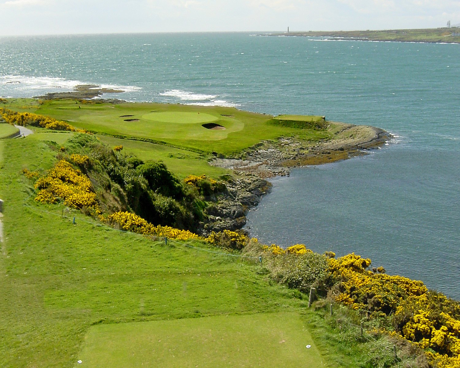 Embanked enlcosureFairy fort / earthen ringfort · 1158 yd
 Embanked enclosureFairy fort / earthen ringfort · 1315 yd
 Canbo CastleHouse, 16th/17th century · 1.6 mi
 Castle (Site of)Castle, unclassified · 2.0 mi
 Hughestown WoodForest · 2.5 mi
 Moylung Castle (in ruins)Castle, unclassified · 2.5 mi
 Moon RiverHeritage attraction · 3.6 mi
 Horse-chestnutHorse-chestnut · 4.5 mi
 Trinity IslandIslet · 5.2 mi
 Bingham IslandIslet · 5.4 mi
 Battle of Áth an Chipbattle · 6.2 mi
Other information
Photo: Credit not shown in the picture search · Rights wording not checked; contact us if this picture should be removed