
What is recorded here
On the E-facing slope of a drumlin ridge. Depicted as a circular enclosure with the designation 'Fort' on the 1837 ed. of the OS 6-inch map. A raised subcircular area (c. 26m N-S; c. 24m E-W) enclosed by a bank of earth and stone (Wth 2.5-4.6m; H 0.3-1.2m), which has been modified and incorporated into a field boundary, and a modern field drain, which almost certainly incorporates the line of an external fosse. A break (Wth 2m) in the bank at E may mark the original entrance.
Compiled by: Patrick F. O'Donovan
Date of upload: 26 August 2011
Derrycassan is a likely early-medieval ringfort, indicated by its circular enclosure and banked structure, situated on a drumlin slope. Local tradition may associate it with fairy lore, as with many such sites in Ireland, though specific folklore is not recorded.
The monument record does not grant public access. Check the route and ask the landowner before entering private land.
- What survives
- Recorded monument
Places near here
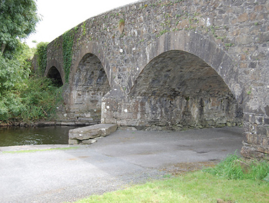 Dernaferst Bridgebridge · 1.1 mi
 Derrycassan WoodsWood · 1.1 mi
 Mulrick WoodlandForest · 1.2 mi
 Enclosure in AghanoranEnclosure · 1.4 mi
 Fortification in Inchmore IslandFortification · 1.4 mi
 InchmoreIslet · 1.4 mi
 Abbey (in Rns)Religious house, Augustinian canons · 1.4 mi
 Arnaghan SouthMountain / peak · 1.8 mi
 Cloone Ho.Castle, unclassified · 1.9 mi
 CornagranMountain / peak · 2.0 mi
 Scrabby IslandIslet · 2.0 mi
 BawnBawn · 3.9 mi
Other information
Photo: Credit not shown in the picture search · Rights wording not checked; contact us if this picture should be removed