What is recorded here
From the National Monuments Service (Archaeological Survey of Ireland) record LF006-020
Places near here
Photo credits
- National Inventory of Architectural Heritage
- Komoot community; photographer not stated, Komoot
- Maker not stated on source page, www.joinmychurch.com
- Maker not stated on source page, www.flickr.com
- Maker not stated on source page, irishheritagenews.ie
- Maker not stated on source page, www.parksandgardens.org
- Kmcnamee, Wikimedia Commons · CC BY-SA 4.0
- Oliver Dixon, commons.wikimedia.org
- Maker not stated on source page, commons.wikimedia.org
- 2ManyCats4Me, Wikimedia Commons · CC0
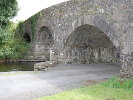 Dernaferst BridgeBridge · 1.1 mi
Explorer Tom Dernaferst Bridge used to span a wider neck of Lough Gowna before they messed with the channels. Now one arch just sits…
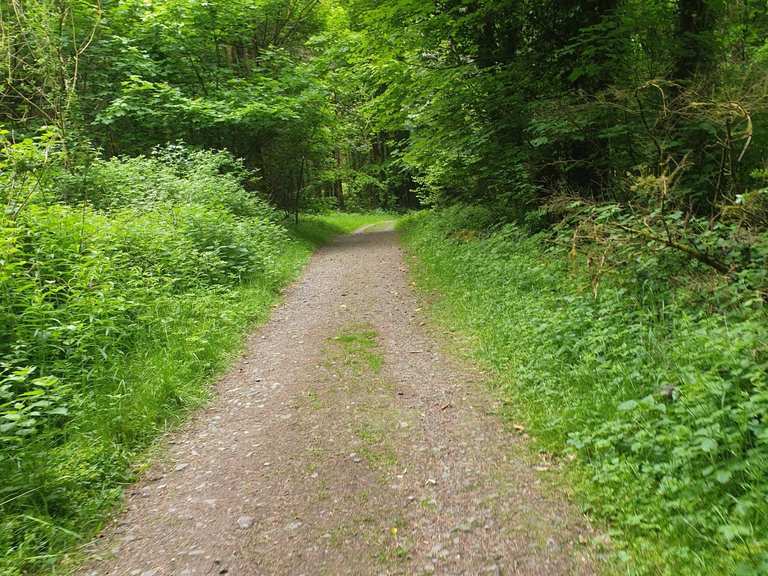 Derrycassan WoodsWood · 1.1 mi
Explorer Tom Derrycassan Woods follows the edge of Lough Gowna in County Longford, where forest paths lead past the bones of an…
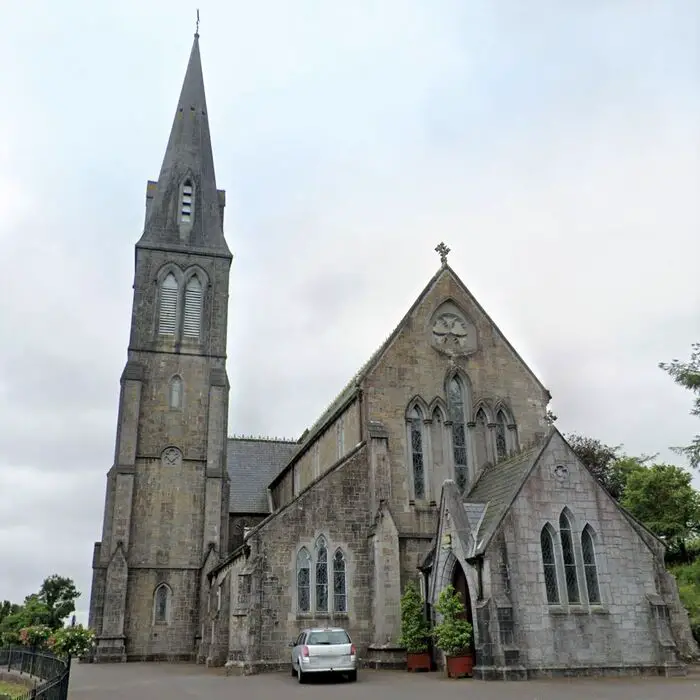 Church (in Ruins)Church · 1.4 mi
Explorer Tom Church in Inchmore Island was upgraded to parish status by Bishop Cormac, likely after a bet with his mate. It stands…
 Mullinalaghta GraveyardCemetery · 1.5 mi
Explorer Tom Mullinalaghta Graveyard has a ghost who is too lazy to haunt anyone because he prefers napping in the grass. He’s…
 Fairy fort / earthen ringfort in Cloonagh (granard By.)Fairy fort / earthen ringfort · 1.6 mi
Explorer Tom Fairy fort / earthen ringfort in Cloonagh: It’s in a constant feud with the rain because its walls are barely…
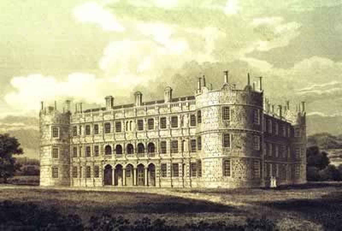 CastleCastle, motte · 1.6 mi
Explorer Tom Castle in Ballinulty Lower was nearly sold for a horse, but the farmer said no. It sits right on the edge of Lough…
 Fairy fort / earthen ringfort in DringFairy fort / earthen ringfort · 1.7 mi
Explorer Tom Fairy fort / earthen ringfort in Dring is playing hard to get on that Lough Gowna slope. It’s got a proper moat and a…
 The Laurels, St. Columba's GAA, MullinalaghtaGAA ground · 1.7 mi
 Páirc Loch Gamhna, Gowna GAAGAA ground · 1.7 mi
 St. Joseph's CemeteryCemetery · 1.9 mi
Explorer Tom St. Joseph's Cemetery in Longford witnessed the most dramatic event when a pigeon dropped a full sandwich right on the…
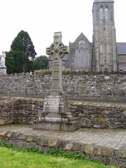 1798 MonumentMonument · 5.0 mi
Explorer Tom The 1798 Monument in Granard uses a Celtic high cross style to tell you about a battle that happened two hundred years…
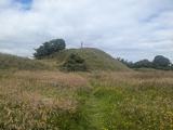 Granard MotteMotte-and-bailey castle remains · 5.0 mi
Explorer Tom Granard Motte would describe the 1800s to a teenager as 'basically a long queue for nothing'. It's just a big mound…
More archaeology and monuments in County Longford · All of County Longford

What do you know about this place?Tap to add a comment or ask a question