What is recorded here
No visible castle, no church tower, no standing stone: a shallow circular scar in a field, the kind of place people once called a fairy fort because it refused to explain itself. The measurement is modest, twenty-six metres across, but modesty does not make the shape forgettable. A human hand made that circle, likely long before written records reached the area, and the hand may have belonged to a family, a claimant, a herdsman or a small community whose name never survived. The earth has since been cut, trimmed and forgotten, yet the circle still resists the straight line of the modern field.
On a gentle E-facing slope in pasture. A raised circular area (diam. 26.3m) enclosed by a low bank of earth and stone (H 0.25m max.) that barely rises above the interior for most of its circuit. A report in 1975 (SMR file) recorded an external fosse, which has since been infilled. From SSW-W-WNW the bank has been incorporated into a modern field boundary. Elsewhere it and much of the interior have been disturbed due to the construction of modern field boundaries. The original entrance is not recognisable.
Compiled by: Patrick F. O'Donovan
Date of upload: 26 August 2011
The monument record does not grant public access. Check the route and ask the landowner before entering private land.
- What survives
- Recorded monument
Places near here
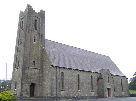 Saint Columba's Catholic Churchchurch/chapel · 283 yd
 St. Columbas R.C. ChurchChurch · 476 yd
 Enclosure in Cloonagh (granard By.)Enclosure · 714 yd
 Lissakerry FortFairy fort / earthen ringfort · 1687 yd
 Derrycassan WoodsWood · 1.1 mi
 ToomeMountain / peak · 1.4 mi
 Cornamucklagh WoodlandWood · 2.0 mi
 InchmoreIslet · 2.1 mi
 CornagranMountain / peak · 2.5 mi
 Scrabby IslandIslet · 2.6 mi
 Cloone Ho.Castle, unclassified · 2.7 mi
 IdicatedCastle, unclassified · 2.9 mi