
What is recorded here
From the National Monuments Service (Archaeological Survey of Ireland) record MA037-001
Places near here
Photo credits
- National Inventory of Architectural Heritage
- Maker not stated on source page, storage.googleapis.com
- Maker not stated on source page, www.vecteezy.com
- Phil Armitage, Wikimedia Commons · Public domain
- Ireland’s National Parks project; photographer not stated, Ireland’s National Parks project
- Colin Park, Wikimedia Commons
- Maker not stated on source page, www.alamy.com
- dougf, Wikimedia Commons · CC BY-SA 2.0
- Golfing in Ireland; photographer not stated, Source publisher
- Maker not stated on source page, en.wikipedia.org
- Brendan Moran / Sportsfile, credited by Western People, www.westernpeople.ie
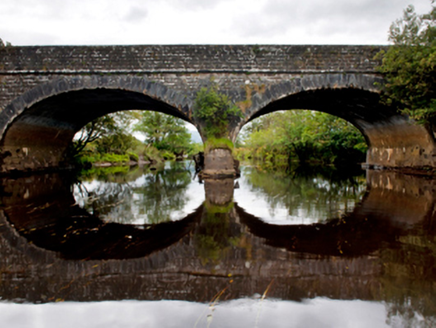 Deel BridgeBridge · 1.7 mi
Explorer Tom Deel Bridge is part of William Bald’s 'Central Road,' which sounds like a journey through the middle of nowhere. It’s…
 Standing stone in Dooleeg MoreStanding stone · 1.8 mi
Explorer Tom Standing stone in Dooleeg More would tell you its big secret after three pints of stout. But since it can’t drink yet…
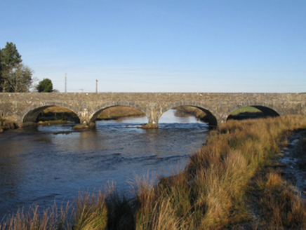 Bellacorick BridgeBridge · 1.9 mi
Explorer Tom Bellacorick Bridge hosted a dance that went so far they ended up in the river. It was built by order of the grand jury…
 Stone row in Dooleeg MoreStone row · 2.6 mi
Explorer Tom Stone row in Dooleeg More would order a massive chipper with extra mayo and absolutely no ketchup. It’s got taste for…
 Wild Nephin National ParkNature reserve · 4.1 mi
Explorer Tom Wild Nephin has room for a boast I cannot match: one of mainland Ireland's most remote points lies inside it. The Mayo…
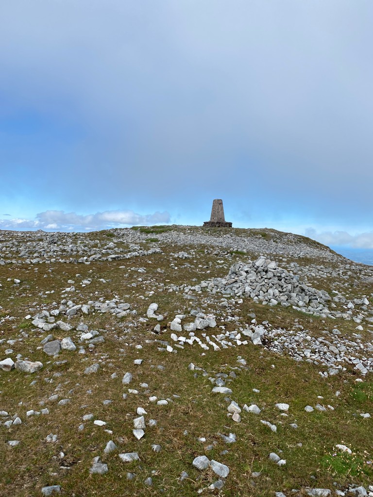 Slieve CarrMountain / peak · 5.2 mi
Explorer Tom Slieve Carr sits deep in County Mayo's Wild Nephin country, where mountains go looking for quiet. At 721 metres it is…
 Nephin BegMountain / peak · 5.9 mi
Explorer Tom Nephin Beg belongs to the wild mountain country of north-west Mayo, where the map can look reassuringly small and the…
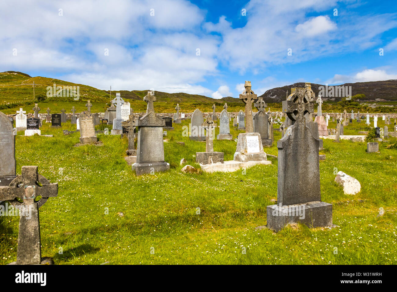 Geesala CemeteryCemetery · 14 mi
Explorer Tom Geesala Cemetery in County Mayo would be the quietest contestant on any reality show, just staring blankly at the…
 Fahy or Doona Castle in ruinsCastle, tower house · 15 mi
Explorer Tom Fahy or Doona Castle in ruins is hosting a fiddler who never left his post. He’s been playing since the last ice age…
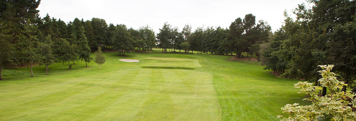 Ballina Golf ClubGolf course · 17 mi
 Polranny New CemeteryCemetery · 19 mi
Explorer Tom Polranny New Cemetery in County Mayo is right next to where a terrible love story ended with a broken fiddle and a very…
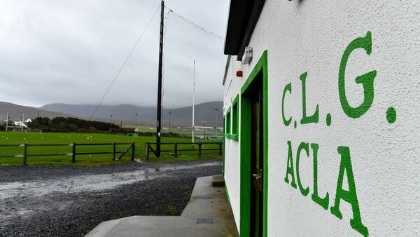 Davitt Park, Achill GAAGAA ground · 19 mi
More archaeology and monuments in County Mayo · All of County Mayo

What do you know about this place?Tap to add a comment or ask a question