What is recorded here
In pasture, on S-facing slope immediately below brow of hill. Roughly rectangular area (37m N-S; 33.6m E-W) enclosed by earthen bank (int. H 0.6m; ext. H 0.4m) SE->W and by collapsed dry-stone wall (int. H 0.55m; ext. H 0.45m) NE->SW. Wall is best preserved (H 0.8m) where it runs along outer base of bank SE->SW. Dense vegetation cover obscures enclosing element W->NE. Low rubble wall (H 0.3m; Wth. 1m) runs along top of bank SSW->SW. Interior, covered with trees and nettles, dips towards centre. Recent dwelling adjacent to W.
Compiled by: Denis Power
Date of upload: 26 August 2011
A local fairy fort (ringfort/rath); wider significance not recorded.
The monument record does not grant public access. Check the route and ask the landowner before entering private land.
- What survives
- Recorded monument
Places near here
 Saint James's Church (Nantinan)church/chapel · 340 yd
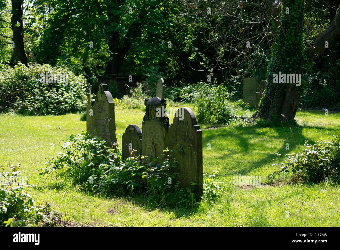 Grave YardGraveyard · 340 yd
 St. James WellHoly well · 429 yd
 Mill (in ruins)Mill, unclassified · 556 yd
 Milltown Castle (in ruins)Castle, tower house · 1.2 mi
 Bawn in StonevilleBawn · 1.3 mi
 Flat cemetery in CroaghFlat cemetery · 2.9 mi
 Askeaton CastleHeritage attraction · 2.9 mi
 TobernablahySpring · 3.3 mi
 Little HeavenHeritage attraction · 3.8 mi
 St. Kieran's WellSpring · 4.1 mi
 European YewEuropean Yew · 4.4 mi