What is recorded here
According to MacDonagh (1936, 197) this ruin is 'the remains of the fortified house' built by Jasper Brett; Brett was High Sheriff of Sligo in 1627-28 and 1635 (O'Dowd 1991, 58). Access to the ruined structure, which is known locally as a 'castle', was denied by the landowner but it was observed from the roadside. It consists of a SW gable wall (L 10.35m; T 0.25-0.45m) and returns of the NW (L 6.5m) and SE (L 3.1m) walls, of a two-storey house (wall measurements in Flynn 2003). The walls (H c. 5m) are of random mortared rubble with undressed corner quoins. Some red brick was also noted in the fabric of the walls, particularly at the broken ends of the NW and SE walls. No window embrasures survive. Joist-holes are visible on the inner face of the gable wall c. 2.5m above ground level. A lean-to shed stands against the external face of the gable wall. A series of low earthworks, evident immediately to the NE, E and S of the ruin, may be the remains of a bawn or structures associated with the house.
According to MacDonagh (1936, 197) this ruin is 'the remains of the fortified house' built by Jasper Brett; Brett was High Sheriff of Sligo in 1627-28 and 1635 (O'Dowd 1991, 58). Access to the ruined structure, which is known locally as a 'castle', was denied by the landowner but it was observed from the roadside. It consists of a SW gable wall (L 10.35m; T 0.25-0.45m) and returns of the NW (L 6.5m) and SE (L…
From the National Monuments Service (Archaeological Survey of Ireland) record SL033-168
The monument record does not grant public access. Check the route and ask the landowner before entering private land.
- What survives
- Recorded monument
Places near here
Photo credits
- National Inventory of Architectural Heritage
- User:The.Q, Wikimedia Commons · CC BY-SA 2.5
- Willie Duffin, Wikimedia Commons · CC BY-SA 2.0
- Willow, Wikimedia Commons · CC BY 2.5
- Gillaween, Wikimedia Commons · CC BY-SA 4.0
- Jon Sullivan, Wikimedia Commons · CC0
- Oliver Dixon, Geograph · CC BY-SA 2.0
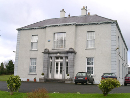 EarlsfieldHouse · 951 yd
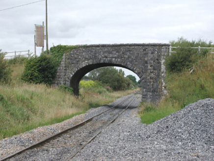 bridge1138 yd
 Fighting 69th MonumentMonument · 1211 ydRathdoonyCastle, motte · 1296 ydBrother WalfridMemorial · 1429 yd
 Ballymote CastleCastle · 1550 yd
 Elder2.7 mi
 European ash3.2 miJames MorrisonMemorial · 3.9 mi
 Sheela-na-gig in BehySheela-na-gig · 4.0 mi
 Caves of KeshCave · 4.1 mi
 Kesh CorannMountain / peak · 4.3 mi
More historic places in County Sligo · All of County Sligo
What do you know about this place?