What is recorded here
In pasture, on a roughly E−W ridge, with excellent views. Ground falls away at N and S to wet rush-grown pasture. Boxed into the N corner of a field, which is bordered by a road. A circular enclosure (diam. c. 20m) is shown on the 1838 OS 6-inch map; it is depicted on the 1916 edition as a small subrectangular field,…
Read the whole record
In pasture, on a roughly E−W ridge, with excellent views. Ground falls away at N and S to wet rush-grown pasture. Boxed into the N corner of a field, which is bordered by a road. A circular enclosure (diam. c. 20m) is shown on the 1838 OS 6-inch map; it is depicted on the 1916 edition as a small subrectangular field, gently curving on the E side. The remains consist of a slightly raised area (c. 19m E−W; 18.5m N−S) defined at NE by a low curving scarp (H 0.5m); at E−NW the scarp is incorporated into a field wall (H 0.65m) that more or less respects the original curve of the enclosure, but tends to be linear at SE and W producing an overall subrectangular plan. A farm track impinges on the scarp NW−NNE. The interior is level, grassy with a few hawthorn bushes. Some large stones are piled at the base of a hawthorn tree in the S half of the interior, and a large boulder lies in the SE quadrant.
From the National Monuments Service (Archaeological Survey of Ireland) record MA103-013
Places near here
Photo credits
- National Inventory of Architectural Heritage
- Mike Searle, Geograph · CC BY-SA 2.0
- David Purchase, Geograph · Creative Commons Attribution-ShareAlike 2.0
- Willow, Wikimedia Commons · CC BY 2.5
- Andreas F. Borchert, Wikimedia Commons · CC BY-SA 4.0
- Enda O Flaherty, Geograph · CC BY-SA 2.0
- The original uploader was Dppowell at English Wikipedia ., Wikimedia Commons · CC BY-SA 2.5
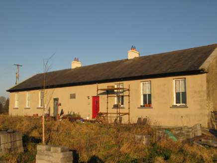 Saint Joseph's National SchoolSchool · 1.2 mi
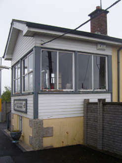 Ballyhaunis Railway StationSignal box · 1.7 mi
 bridge1.8 mi
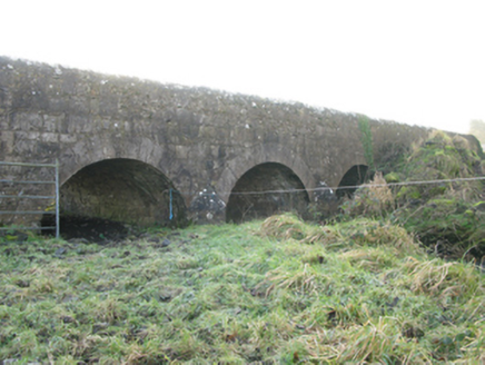 Agloragh BridgeBridge · 1.8 mi
 IndicatedHouse, fortified house · 4.3 mi
 CastleCastle, unclassified · 4.3 mi
 Slieve DartMountain / peak · 5.1 mi
 Grave YardGraveyard · 7.2 mi
 European ash15 mi
 Cloigtheach (Round Tower)Round tower · 15 mi
 KnockmaaWood · 20 mi
 Ross Errilly FriaryHeritage attraction · 24 mi
More archaeology and monuments in County Mayo · All of County Mayo
What do you know about this place?Tap to add a comment or ask a question